Old Maps of Carrollton, Alabama for Academic Research
Study the evolution of Carrollton with 16 high-resolution historic maps. Whether you're teaching, researching, or modeling changes in land use, these maps provide essential visual documentation of urban, environmental, and geographic change.
- Analyze long-term change: Track patterns in development, transportation, and natural features.
- Ideal for environmental or urban studies: Support academic projects with primary historical map data.
- Use in the classroom or lab: Educators and researchers rely on these maps to bring historical context to life.
These maps are a powerful tool for teaching, research, and visualizing how Carrollton has changed over the decades.
Carrollton, AL maps
(16)- 1953 Map of West Point, 1973 Print
 1953 West Point1973 Print · USGSNorth-Central Mississippi and the Alabama borderlands are captured here during the mid-twentieth century as new reservoirs and national forests transformed the landscape. Researchers can trace the path of the Mississippi & Skuna Valley railroad or locate old landings along the Tombigbee River and Schooner Creek.3 unique versions available
 - 1958 Map of West Point
 1958 West Point1958 Print · USGSNortheastern Mississippi and western Alabama are shown in the late 1950s, highlighting a region defined by its river-and-rail economy. Researchers can trace family roots through numerous settlements like Artesia and Vardaman or explore the corridor of the Tombigbee River.
 - 1963 Map of West Point
 1963 West Point1963 Print · USGSEastern Mississippi and western Alabama are captured in the early sixties as industrial centers and rail lines connected the Black Prairie to the hills. Genealogists and historians can trace family-named watercourses and the early footprints of Starkville, Columbus, and the Noxubee National Wildlife Refuge.2 unique versions available
 - 1967 Map of Carrollton
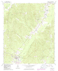 1967 Carrollton1967 Print · USGSPickens County comes into focus during the late sixties as the regional rail and road networks centered on Carrollton matured. Researchers can trace family history through sites like Cockrell Cem, New Providence Ch, and the old ICG railroad corridor.3 unique versions available
 - 1970 Map of Cunningham, 1972 Print
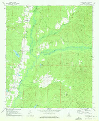 1970 Cunningham1972 Print · USGSPickens County comes into focus in the early seventies, centered on the Alabama and Northern rail line and the wetlands of Lubbub Creek. Genealogists and historians can locate old landmarks like Mt Sinai Ch, Dillburg, and the Drive-in Theater.2 unique versions available
 - 1984 Map of West Point
 1984 West Point1984 Print · USGSNorth-Central Mississippi in the mid-eighties shows a landscape defined by massive water management projects and dense timberlands. Researchers can trace the legacy of rural settlements like Geeslin Corner or the rail corridors of the Illinois Central Gulf RR near Grenada Lake.3 unique versions available
 - 2011 Map of Carrollton, 2011 Print
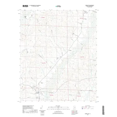
 2011 Carrollton2011 Print · USGSCovers Carrollton, including Reform, Stansel, and other nearby areas
 - 2011 Map of Cunningham, 2011 Print
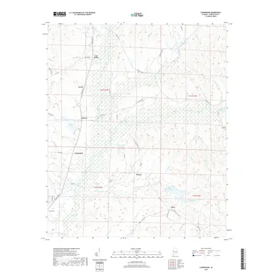
 2011 Cunningham2011 Print · USGSCovers Carrollton, including Hickory, Olney, and other nearby areas
 - 2014 Map of Carrollton, 2014 Print
 2014 Carrollton2014 Print · USGSCovers Carrollton, including Reform, Stansel, and other nearby areas
 - 2014 Map of Cunningham, 2014 Print
 2014 Cunningham2014 Print · USGSCovers Carrollton, including Hickory, Olney, and other nearby areas
 - 2018 Map of Carrollton, 2018 Print
 2018 Carrollton2018 Print · USGSCovers Carrollton, including Reform, Stansel, and other nearby areas
 - 2018 Map of Cunningham, 2018 Print
 2018 Cunningham2018 Print · USGSCovers Carrollton, including Hickory, Olney, and other nearby areas
 - 2020 Map of Carrollton, 2020 Print
 2020 Carrollton2020 Print · USGSCovers Carrollton, including Reform, Stansel, and other nearby areas
 - 2020 Map of Cunningham, 2020 Print
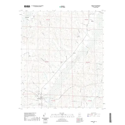
 2020 Cunningham2020 Print · USGSCovers Carrollton, including Hickory, Olney, and other nearby areas
 - 2024 Map of Cunningham, 2024 Print
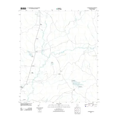
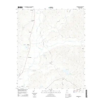
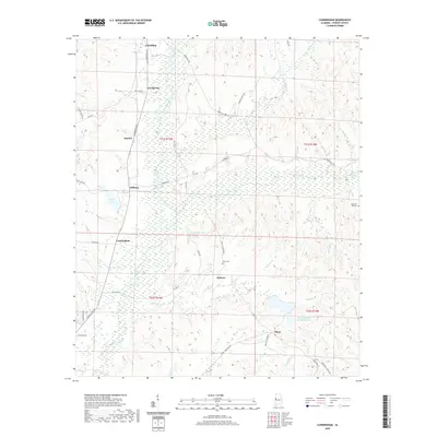
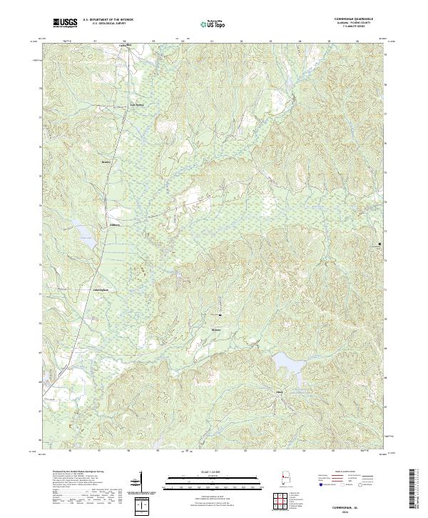 2024 Cunningham2024 Print · USGSPickens County's rural landscape is mapped here in the modern era, showing the enduring layout of its small crossroads and family lands. Researchers can trace local roots through sites like Unity Cem, Lois Spring, and the community of Cunningham.
 - 2024 Map of Carrollton, 2024 Print
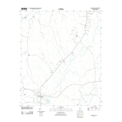
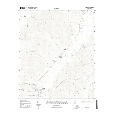
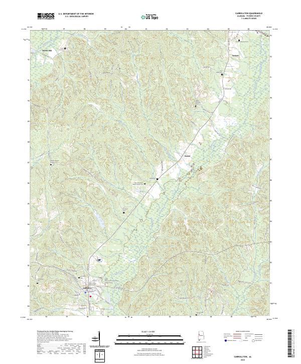 2024 Carrollton2024 Print · USGSCarrollton and the surrounding Pickens County countryside are documented here in recent years as the region maintains its rural character. Genealogists can trace family names at Carrollton Cem and Old Sardis Cem or locate the ATN Railroad corridor.
End of results
Showing maps 1-16 of 16
Top cities near Carrollton
- Aliceville historical maps
- Gordo historical maps
- Reform historical maps
- Pickensville historical maps
- Macedonia historical maps
- Ethelsville historical maps
See more
Frequently asked questions
- What are the different types of historical maps available for Carrollton?
- What is the oldest map of Carrollton?
- Where can I purchase historical maps of Carrollton for my home or office?
- Where can I download high-res historical maps of Carrollton?
- Are there historical topographic maps available for Carrollton?
- Is there historical aerial imagery available for Carrollton?
- Where are historical maps of Carrollton sourced from?