Old Maps of Mossy Grove Estates, Alabama for Academic Research
Study the evolution of Mossy Grove Estates with 13 high-resolution historic maps. Whether you're teaching, researching, or modeling changes in land use, these maps provide essential visual documentation of urban, environmental, and geographic change.
- Analyze long-term change: Track patterns in development, transportation, and natural features.
- Ideal for environmental or urban studies: Support academic projects with primary historical map data.
- Use in the classroom or lab: Educators and researchers rely on these maps to bring historical context to life.
These maps are a powerful tool for teaching, research, and visualizing how Mossy Grove Estates has changed over the decades.
Mossy Grove Estates, AL maps
(13)- 1948 Map of Brundidge, 1965 Print
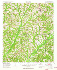 1948 Brundidge1965 Print · USGSSoutheast Alabama in the late 1940s is defined by a network of small farming communities and country churches connected by the Atlantic Coast Line. Genealogists and researchers can trace family-named landmarks such as Lowerys Mill, Coles Bridge, and Hamilton Crossroads School.
 - 1950 Map of Brundidge
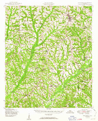 1950 Brundidge1950 Print · USGSBrundidge and the surrounding hills of Pike and Coffee Counties are captured here at mid-century as the local rail and river economy flourished. Genealogists can locate family landmarks like Arcus Cemetery or rural hubs such as Tarentum, Roeton, and Rocky Head.
 - 1953 Map of Dothan, 1966 Print
 1953 Dothan1966 Print · USGSSoutheast Alabama and Southwest Georgia are captured during a period of massive hydraulic and military expansion in the mid-fifties. Genealogists and historians can trace rural landmarks like Antioch Church and School, the Andrew Jackson Monument, and the early footprint of Fort Rucker Military Reservation.3 unique versions available
 - 1954 Map of Dothan
 1954 Dothan1954 Print · USGSSoutheast Alabama and Southwest Georgia are seen here in the mid-fifties, during a decade of military expansion and rural transition. Genealogists can trace the location of country schools like Little Zion School or the grounds of Kolomoki Mounds State Park.
 - 1955 Map of Dothan
 1955 Dothan1955 Print · USGSSoutheast Alabama and Southwest Georgia are captured here in the mid-fifties, showing a landscape of river-port history and growing military bases. Researchers can trace rural life via the Andrew Jackson Monument, Bauxite mines, and the Central of Georgia RR.
 - 1960 Map of Brundidge NW, 1963 Print
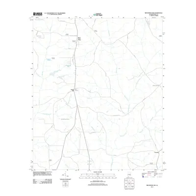
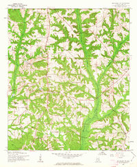 1960 Brundidge NW1963 Print · USGSPike County settlements and early 1960s industry meet in this detailed survey of the Alabama countryside. Genealogists can trace family roots through numerous local landmarks like Spring Hill Sch, Antioch Ch, and the rural community of Tarentum.2 unique versions available
 - 1962 Map of Brundidge NW
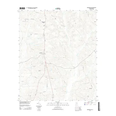
 1962 Brundidge NW1962 Print · USGSLife in rural Pike County during the early sixties is detailed here through its network of country schools and churches. Genealogists can locate specific family landmarks like Springhill School, Tarentum, and the White Water Church (abandoned).
 - 1981 Map of Troy, 1982 Print
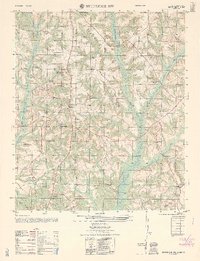
 1981 Troy1982 Print · USGSThe Chattahoochee River valley and the wiregrass region of Alabama come alive in the early eighties as the Walter F George Reservoir reshapes the eastern border. Genealogists can trace family roots through historic railroad towns like Brundidge and Louisville or explore the rural surroundings of Blue Springs State Park.
 - 2011 Map of Brundidge NW, 2011 Print
 2011 Brundidge NW2011 Print · USGSCovers Mossy Grove Estates, including Troy, Tarentum, and other nearby areas
 - 2014 Map of Brundidge NW, 2014 Print
 2014 Brundidge NW2014 Print · USGSCovers Mossy Grove Estates, including Troy, Tarentum, and other nearby areas
 - 2018 Map of Brundidge NW, 2018 Print
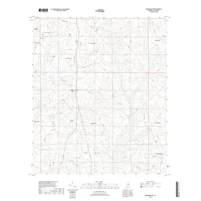 2018 Brundidge NW2018 Print · USGSCovers Mossy Grove Estates, including Troy, Tarentum, and other nearby areas
 - 2020 Map of Brundidge NW, 2020 Print
 2020 Brundidge NW2020 Print · USGSCovers Mossy Grove Estates, including Troy, Tarentum, and other nearby areas
 - 2024 Map of Brundidge NW, 2024 Print
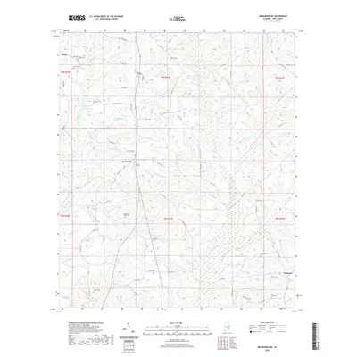
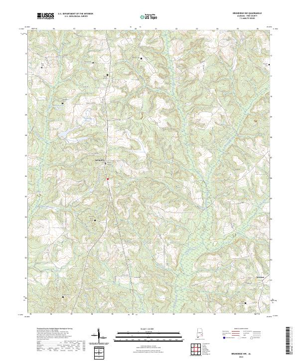 2024 Brundidge NW2024 Print · USGSPike County at the start of the 2020s remains a landscape of quiet rural settlements and ancestral family land. Researchers can locate numerous local burial sites like Simmons Cem and Diggers Cem or trace the winding course of Whitewater Creek.
End of results
Showing maps 1-13 of 13
Top cities near Mossy Grove Estates
- Troy historical maps
- Brundidge historical maps
- Ariton historical maps
- Goshen historical maps
- Banks historical maps
- Glenwood historical maps
Frequently asked questions
- What are the different types of historical maps available for Mossy Grove Estates?
- What is the oldest map of Mossy Grove Estates?
- Where can I purchase historical maps of Mossy Grove Estates for my home or office?
- Where can I download high-res historical maps of Mossy Grove Estates?
- Are there historical topographic maps available for Mossy Grove Estates?
- Is there historical aerial imagery available for Mossy Grove Estates?
- Where are historical maps of Mossy Grove Estates sourced from?