2000s (21st Century) Maps of Calera, Alabama
Explore 20 historic maps of Calera from the 2000s (21st Century). These maps offer a rare glimpse into what life looked like during the 2000s — showing old roads, neighborhoods, homes, and landmarks that have changed or disappeared over time.
Whether you're researching your family's past, planning a metal detecting trip, or studying how Calera's landscape evolved across the 2000s, these high-resolution maps are a powerful tool for exploring the history of this region.
- Focus on a specific era: All maps on this page are from the 2000s, giving you a focused view of this time period.
- See what’s changed: Compare century-old streets, trails, and buildings to today's modern landscape using overlays and satellite layers.
- Research with precision: Use these maps for genealogy, historical research, land use analysis, or educational projects.
- View, download, or print: Maps are fully viewable online in high resolution, and can be downloaded or printed for your own records.
Start exploring Calera's history through authentic maps from the 2000s. This is your window into the past.
Calera, AL maps
(20)- 2011 Map of Montevallo, 2011 Print
 2011 Montevallo2011 Print · USGSCovers Calera, including Montevallo, Jemison, and other nearby areas
 - 2011 Map of Bounds Lake, 2011 Print
 2011 Bounds Lake2011 Print · USGSCovers Calera, including Alabaster, Chelsea, and other nearby areas
 - 2011 Map of Ozan, 2011 Print
 2011 Ozan2011 Print · USGSCovers Calera, including Jemison, Ozan, and other nearby areas
 - 2011 Map of Alabaster, 2011 Print
 2011 Alabaster2011 Print · USGSCovers Calera, including Alabaster, Pelham, and other nearby areas
 - 2014 Map of Montevallo, 2014 Print
 2014 Montevallo2014 Print · USGSCovers Calera, including Montevallo, Jemison, and other nearby areas
 - 2014 Map of Ozan, 2014 Print
 2014 Ozan2014 Print · USGSCovers Calera, including Jemison, Ozan, and other nearby areas
 - 2014 Map of Alabaster, 2014 Print
 2014 Alabaster2014 Print · USGSCovers Calera, including Alabaster, Pelham, and other nearby areas
 - 2014 Map of Bounds Lake, 2014 Print
 2014 Bounds Lake2014 Print · USGSCovers Calera, including Alabaster, Chelsea, and other nearby areas
 - 2018 Map of Montevallo, 2018 Print
 2018 Montevallo2018 Print · USGSCovers Calera, including Montevallo, Jemison, and other nearby areas
 - 2018 Map of Ozan, 2018 Print
 2018 Ozan2018 Print · USGSCovers Calera, including Jemison, Ozan, and other nearby areas
 - 2018 Map of Bounds Lake, 2018 Print
 2018 Bounds Lake2018 Print · USGSCovers Calera, including Alabaster, Chelsea, and other nearby areas
 - 2018 Map of Alabaster, 2018 Print
 2018 Alabaster2018 Print · USGSCovers Calera, including Alabaster, Pelham, and other nearby areas
 - 2020 Map of Alabaster, 2020 Print
 2020 Alabaster2020 Print · USGSCovers Calera, including Alabaster, Pelham, and other nearby areas
 - 2020 Map of Montevallo, 2020 Print
 2020 Montevallo2020 Print · USGSCovers Calera, including Montevallo, Jemison, and other nearby areas
 - 2020 Map of Ozan, 2020 Print
 2020 Ozan2020 Print · USGSCovers Calera, including Jemison, Ozan, and other nearby areas
 - 2020 Map of Bounds Lake, 2020 Print
 2020 Bounds Lake2020 Print · USGSCovers Calera, including Alabaster, Chelsea, and other nearby areas
 - 2024 Map of Bounds Lake, 2024 Print
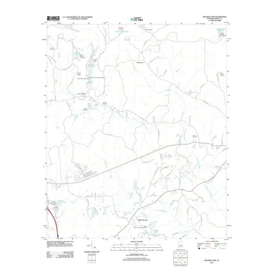
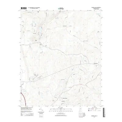
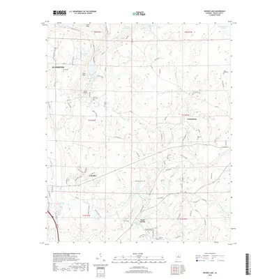
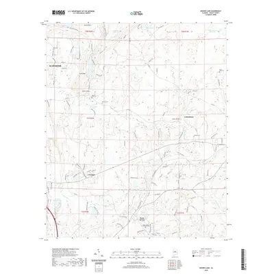
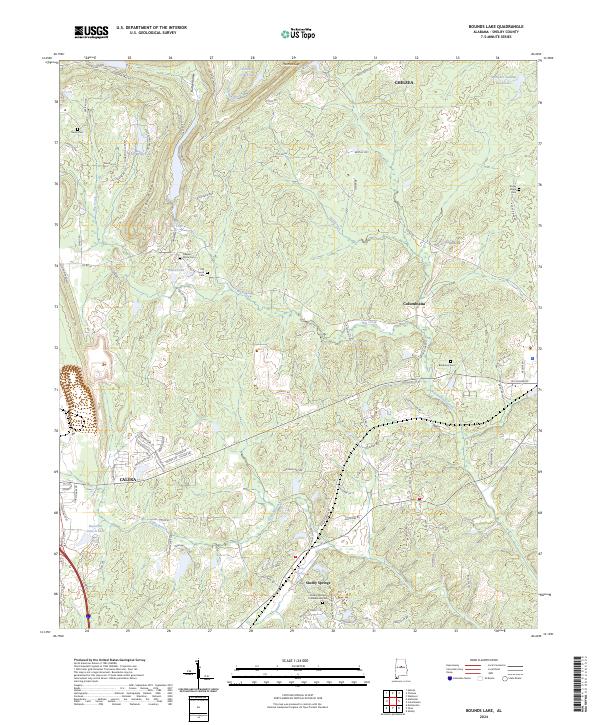 2024 Bounds Lake2024 Print · USGSThe rural landscape of Shelby County is shown in detail during the early 2020s, centered on the area between Chelsea and Shelby Springs. Genealogists can locate several historic burial grounds, such as the Shelby Springs Confederate Cem and Old Lynch Cem, near landmarks like Thomas Gap.
 - 2024 Map of Montevallo, 2024 Print
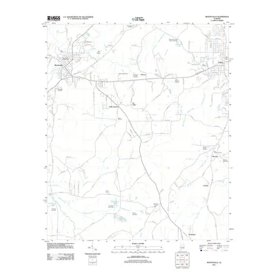
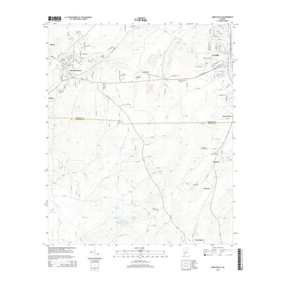
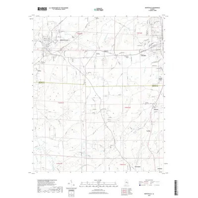
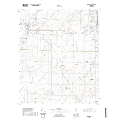
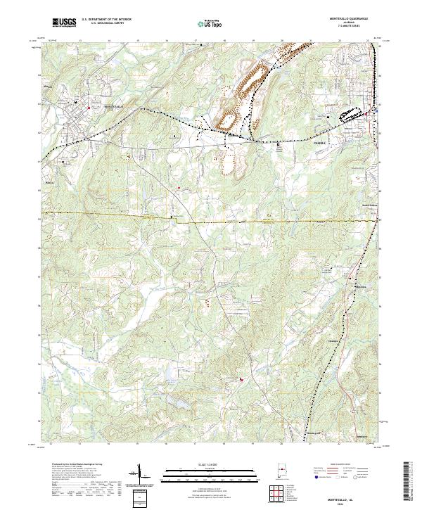 2024 Montevallo2024 Print · USGSMontevallo and Calera serve as the primary hubs in this modern survey of central Alabama's transition from academic centers to rural creek valleys. Researchers can trace numerous family burial sites such as Salem Cem and Reynolds Cem or follow the CSX Transportation rail corridor.
 - 2024 Map of Ozan, 2024 Print
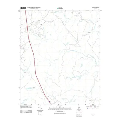
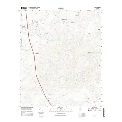
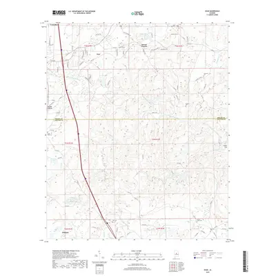
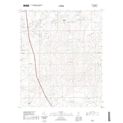
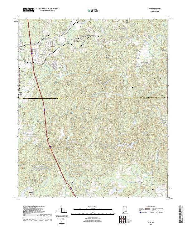 2024 Ozan2024 Print · USGSThe Shelby and Chilton county line in central Alabama comes alive in this survey, showing the transition from CALERA down toward Jemison. Researchers can trace family history at Archers Chapel, Shiloh Busby Cem, and the old rail-linked Springs Junction.
 - 2024 Map of Alabaster, 2024 Print
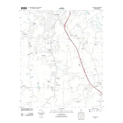
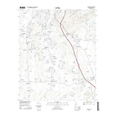
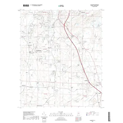
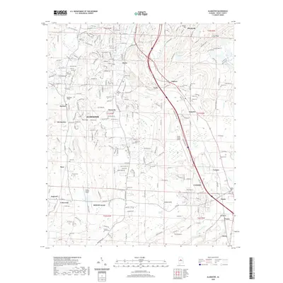
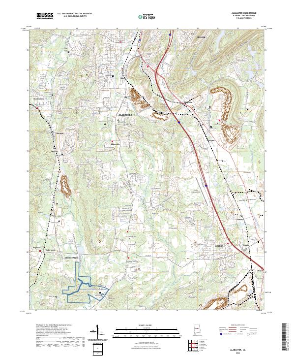 2024 Alabaster2024 Print · USGSShelby County at the present day shows the rapid growth between the urban hubs of Alabaster and Calera. Trace your family history through landmarks like Siluria, the Alabama National Cemetery, and the Nabors Cem.
End of results
Showing maps 1-20 of 20
Top cities near Calera
- Hoover historical maps
- Alabaster historical maps
- Bessemer historical maps
- Pelham historical maps
- Helena historical maps
- Chelsea historical maps
See more
Top neighborhoods of Calera
- Shelby Springs historical maps
- Dargin historical maps
- Pasqua historical maps
- Townside Square historical maps
Frequently asked questions
- What are the different types of historical maps available for Calera?
- What is the oldest map of Calera?
- Where can I purchase historical maps of Calera for my home or office?
- Where can I download high-res historical maps of Calera?
- Are there historical topographic maps available for Calera?
- Is there historical aerial imagery available for Calera?
- Where are historical maps of Calera sourced from?