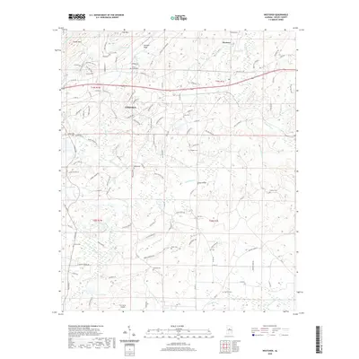
2000s (21st Century) Maps of Westover, Alabama
Explore 20 historic maps of Westover from the 2000s (21st Century). These maps offer a rare glimpse into what life looked like during the 2000s — showing old roads, neighborhoods, homes, and landmarks that have changed or disappeared over time.
Whether you're researching your family's past, planning a metal detecting trip, or studying how Westover's landscape evolved across the 2000s, these high-resolution maps are a powerful tool for exploring the history of this region.
- Focus on a specific era: All maps on this page are from the 2000s, giving you a focused view of this time period.
- See what’s changed: Compare century-old streets, trails, and buildings to today's modern landscape using overlays and satellite layers.
- Research with precision: Use these maps for genealogy, historical research, land use analysis, or educational projects.
- View, download, or print: Maps are fully viewable online in high resolution, and can be downloaded or printed for your own records.
Start exploring Westover's history through authentic maps from the 2000s. This is your window into the past.
Westover, AL maps
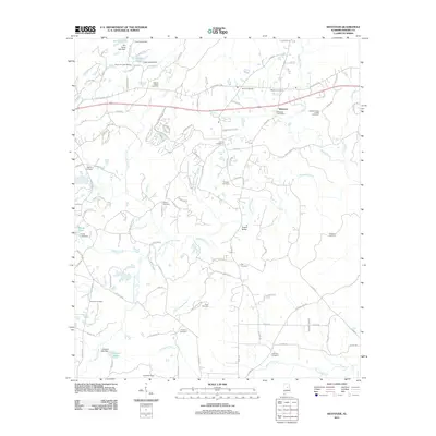
(20)- 2011 Map of Vandiver, 2011 Print
 2011 Vandiver2011 Print · USGSCovers Westover, including Birmingham, Hoover, and other nearby areas
 - 2011 Map of Westover, 2011 Print
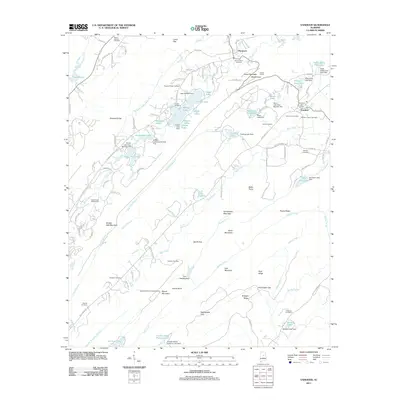
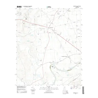
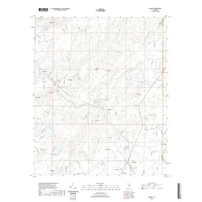
 2011 Westover2011 Print · USGSCovers Westover, including Chelsea, Yellowleaf Creek Estates, and other nearby areas
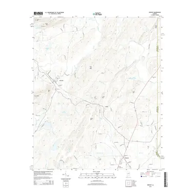
 - 2011 Map of Harpersville, 2011 Print
 2011 Harpersville2011 Print · USGSCovers Westover, including Childersburg, Vincent, and other nearby areas
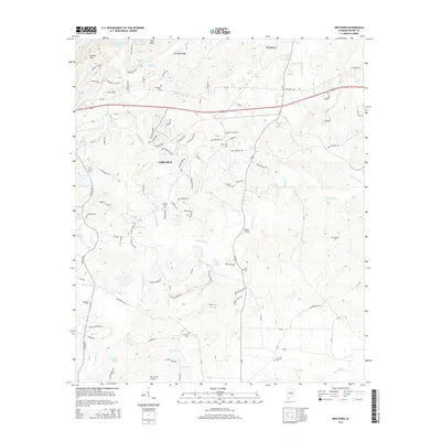
 - 2011 Map of Vincent, 2011 Print
 2011 Vincent2011 Print · USGSCovers Westover, including Vincent, Sterrett, and other nearby areas
 - 2014 Map of Harpersville, 2014 Print
 2014 Harpersville2014 Print · USGSCovers Westover, including Childersburg, Vincent, and other nearby areas
 - 2014 Map of Vandiver, 2014 Print
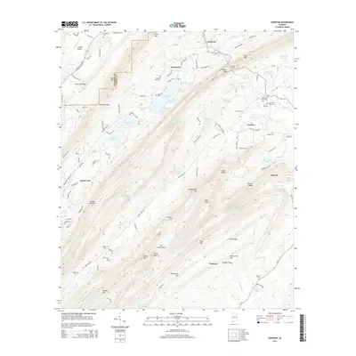 2014 Vandiver2014 Print · USGSCovers Westover, including Birmingham, Hoover, and other nearby areas
 - 2014 Map of Vincent, 2014 Print
 2014 Vincent2014 Print · USGSCovers Westover, including Vincent, Sterrett, and other nearby areas
 - 2014 Map of Westover, 2014 Print
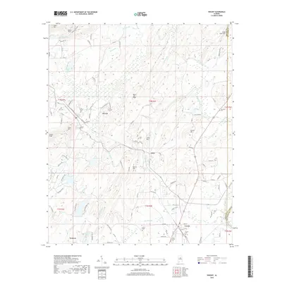
 2014 Westover2014 Print · USGSCovers Westover, including Chelsea, Yellowleaf Creek Estates, and other nearby areas
 - 2018 Map of Vincent, 2018 Print
 2018 Vincent2018 Print · USGSCovers Westover, including Vincent, Sterrett, and other nearby areas
 - 2018 Map of Westover, 2018 Print
 2018 Westover2018 Print · USGSCovers Westover, including Chelsea, Yellowleaf Creek Estates, and other nearby areas
 - 2018 Map of Harpersville, 2018 Print
 2018 Harpersville2018 Print · USGSCovers Westover, including Childersburg, Vincent, and other nearby areas
 - 2018 Map of Vandiver, 2018 Print
 2018 Vandiver2018 Print · USGSCovers Westover, including Birmingham, Hoover, and other nearby areas
 - 2020 Map of Vincent, 2020 Print
 2020 Vincent2020 Print · USGSCovers Westover, including Vincent, Sterrett, and other nearby areas
 - 2020 Map of Westover, 2020 Print
 2020 Westover2020 Print · USGSCovers Westover, including Chelsea, Yellowleaf Creek Estates, and other nearby areas
 - 2020 Map of Vandiver, 2020 Print
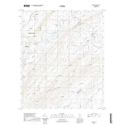 2020 Vandiver2020 Print · USGSCovers Westover, including Birmingham, Hoover, and other nearby areas
 - 2020 Map of Harpersville, 2020 Print
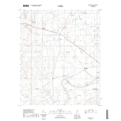 2020 Harpersville2020 Print · USGSCovers Westover, including Childersburg, Vincent, and other nearby areas
 - 2024 Map of Harpersville, 2024 Print
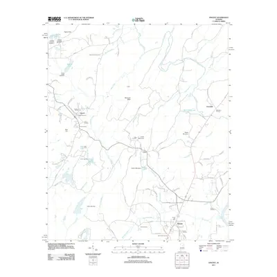
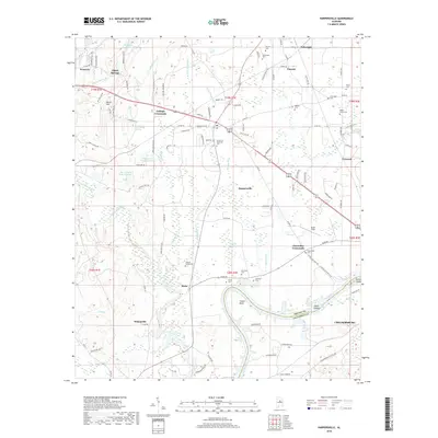
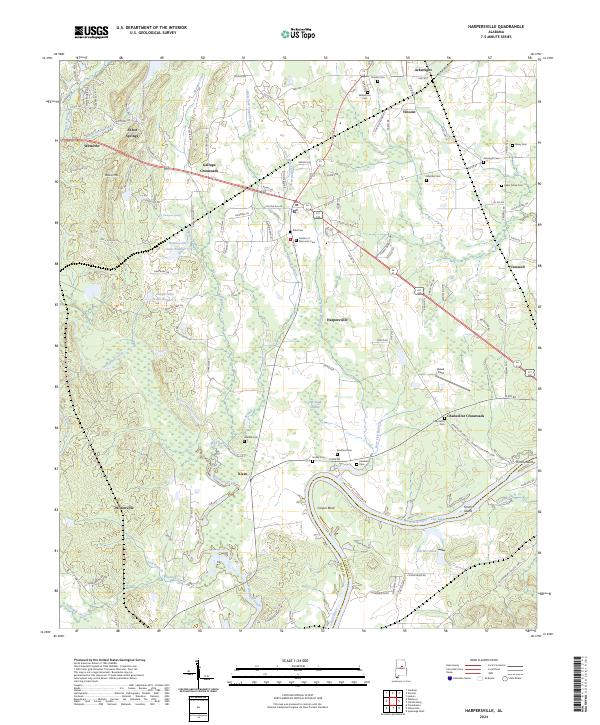 2024 Harpersville2024 Print · USGSShelby County in the early twenty-first century reveals a landscape of enduring rural crossroads and riverside settlements. Researchers can trace family history through numerous local burial sites like Kidd Cem or explore the shifting shoreline of the Coosa River near Cosper Bend.
 - 2024 Map of Westover, 2024 Print
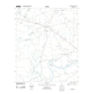
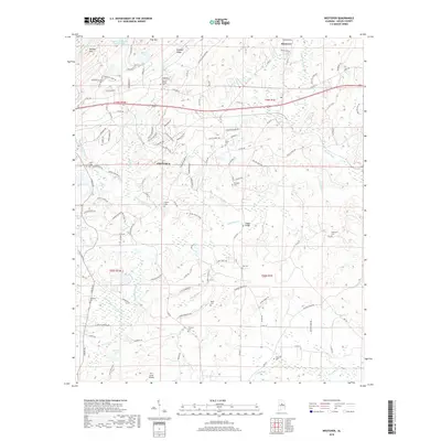
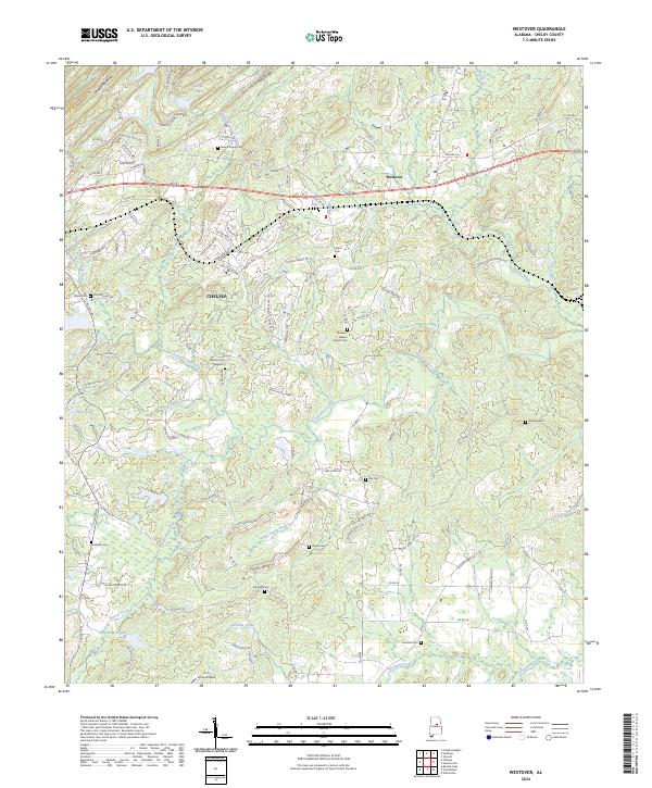 2024 Westover2024 Print · USGSShelby County transitions from residential growth to traditional rural valleys in this recent look at the Westover and Chelsea corridor. You can locate family history markers at Walton Cem and Florence Cem or trace the winding course of Yellowleaf Creek.
 - 2024 Map of Vandiver, 2024 Print
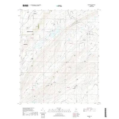
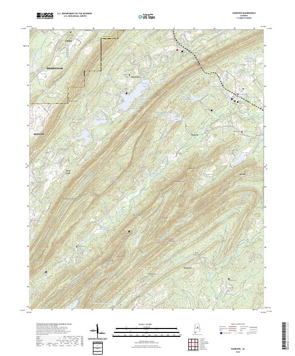 2024 Vandiver2024 Print · USGSShelby County’s ridgeline communities and rural valleys are captured in this modern survey of the Appalachian foothills near Birmingham. Genealogists can trace family sites at Vandiver Negro Cem and Mount Olive Cem, while terrain enthusiasts can explore The Penitentiary and Potato Ridge.
 - 2024 Map of Vincent, 2024 Print
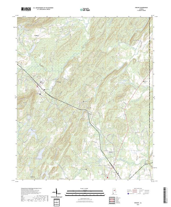 2024 Vincent2024 Print · USGSThis part of Shelby and St. Clair Counties shows a rural landscape where the Coosa River and various ridges shaped early settlement. Genealogists and historians can trace community roots through numerous family sites such as Glover Cem, Elliott Cem, and the historic Glovers Ferry crossing.
End of results
Showing maps 1-20 of 20
Top cities near Westover
- Birmingham historical maps
- Hoover historical maps
- Vestavia Hills historical maps
- Alabaster historical maps
- Trussville historical maps
- Pelham historical maps
See more
Top neighborhoods of Westover
Frequently asked questions
- What are the different types of historical maps available for Westover?
- What is the oldest map of Westover?
- Where can I purchase historical maps of Westover for my home or office?
- Where can I download high-res historical maps of Westover?
- Are there historical topographic maps available for Westover?
- Is there historical aerial imagery available for Westover?
- Where are historical maps of Westover sourced from?