2000s (21st Century) Maps of Talladega Springs, Alabama
Explore 10 historic maps of Talladega Springs from the 2000s (21st Century). These maps offer a rare glimpse into what life looked like during the 2000s — showing old roads, neighborhoods, homes, and landmarks that have changed or disappeared over time.
Whether you're researching your family's past, planning a metal detecting trip, or studying how Talladega Springs's landscape evolved across the 2000s, these high-resolution maps are a powerful tool for exploring the history of this region.
- Focus on a specific era: All maps on this page are from the 2000s, giving you a focused view of this time period.
- See what’s changed: Compare century-old streets, trails, and buildings to today's modern landscape using overlays and satellite layers.
- Research with precision: Use these maps for genealogy, historical research, land use analysis, or educational projects.
- View, download, or print: Maps are fully viewable online in high resolution, and can be downloaded or printed for your own records.
Start exploring Talladega Springs's history through authentic maps from the 2000s. This is your window into the past.
Talladega Springs, AL maps
(10)- 2011 Map of Wilsonville, 2011 Print
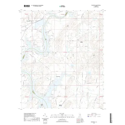
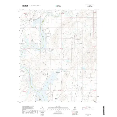
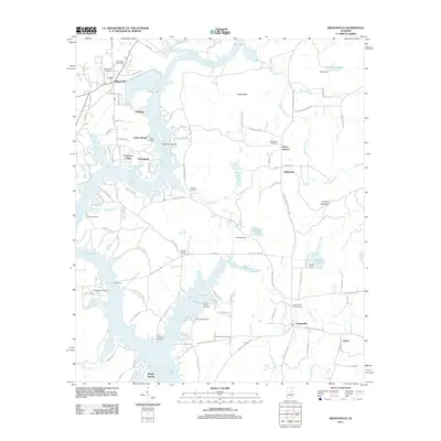 2011 Wilsonville2011 Print · USGSCovers Talladega Springs, including Wilsonville, Fayetteville, and other nearby areas
 - 2011 Map of Talladega Springs, 2011 Print
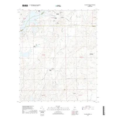
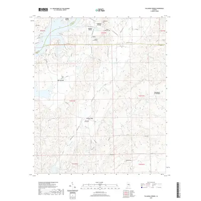
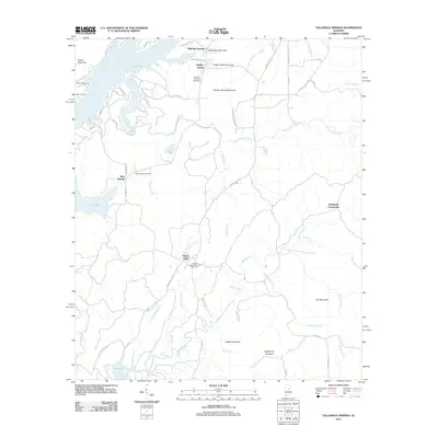 2011 Talladega Springs2011 Print · USGSCovers Talladega Springs, including Blue Springs, Marble Valley, and other nearby areas
 - 2014 Map of Talladega Springs, 2014 Print
 2014 Talladega Springs2014 Print · USGSCovers Talladega Springs, including Blue Springs, Marble Valley, and other nearby areas
 - 2014 Map of Wilsonville, 2014 Print
 2014 Wilsonville2014 Print · USGSCovers Talladega Springs, including Wilsonville, Fayetteville, and other nearby areas
 - 2018 Map of Talladega Springs, 2018 Print
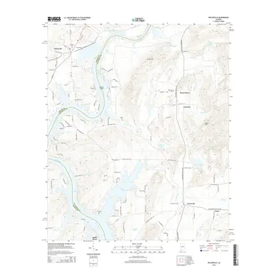
 2018 Talladega Springs2018 Print · USGSCovers Talladega Springs, including Blue Springs, Marble Valley, and other nearby areas
 - 2018 Map of Wilsonville, 2018 Print
 2018 Wilsonville2018 Print · USGSCovers Talladega Springs, including Wilsonville, Fayetteville, and other nearby areas
 - 2020 Map of Wilsonville, 2020 Print
 2020 Wilsonville2020 Print · USGSCovers Talladega Springs, including Wilsonville, Fayetteville, and other nearby areas
 - 2020 Map of Talladega Springs, 2020 Print
 2020 Talladega Springs2020 Print · USGSCovers Talladega Springs, including Blue Springs, Marble Valley, and other nearby areas
 - 2024 Map of Wilsonville, 2024 Print
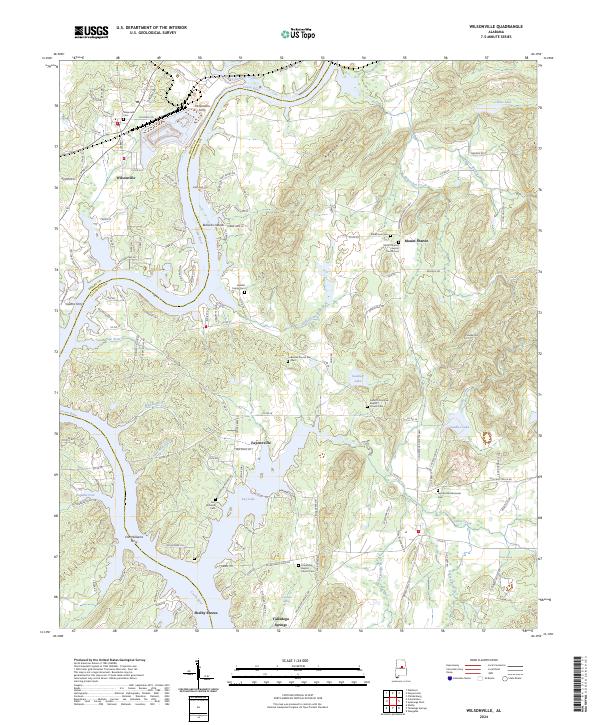 2024 Wilsonville2024 Print · USGSThe Coosa River valley near Wilsonville is shown here during a time when river crossings and rural church life defined the region. Researchers can trace ancestral sites like Heaslet Family Cem or find historic river access at McGowans Ferry and Fort Williams Ferry.
 - 2024 Map of Talladega Springs, 2024 Print
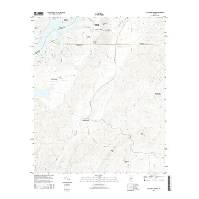
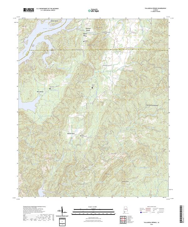 2024 Talladega Springs2024 Print · USGSThe Talladega and Coosa county borderlands are shown here in the contemporary era, centered on the river-fed communities and mineral springs. Researchers can locate family sites and river crossings such as Talladega Springs Cem, Marble Valley, and the historic McGees Ferry.
End of results
Showing maps 1-10 of 10
Top cities near Talladega Springs
- Hoover historical maps
- Pelham historical maps
- Calera historical maps
- Chelsea historical maps
- Sylacauga historical maps
- Clanton historical maps
See more
Top neighborhoods of Talladega Springs
Frequently asked questions
- What are the different types of historical maps available for Talladega Springs?
- What is the oldest map of Talladega Springs?
- Where can I purchase historical maps of Talladega Springs for my home or office?
- Where can I download high-res historical maps of Talladega Springs?
- Are there historical topographic maps available for Talladega Springs?
- Is there historical aerial imagery available for Talladega Springs?
- Where are historical maps of Talladega Springs sourced from?