Old Maps of Whitson, Alabama
Explore 12 old maps of Whitson, spanning from 1893 to today. These high-resolution historic maps reveal how streets, neighborhoods, landmarks, and natural features evolved over time — perfect for genealogy, metal detecting, research, and local history exploration.
What you can do with these maps:
- See how Whitson changed over time: Compare historical maps to modern-day views to trace roads, homesites, rail lines & more.
- View detailed metadata: Each map includes creators, publishers, year, scale, and archive source.
- Overlay maps with satellite & LiDAR: Visualize the past alongside modern tools to explore terrain & human change.
- Trusted historical sources: Maps sourced from the USGS, Library of Congress, and other archives.
- Access maps your way: View online, download high-res files, or order prints for personal or research use.
Start exploring old maps of Whitson to uncover forgotten places, hidden landmarks, and the deep history beneath your feet.
Whitson, AL maps
(12)- 1893 Map of Jasper
 1893 Jasper1893 Print · USGSNorthern Alabama’s coal and timber country comes into focus in the 1890s as railroads began to penetrate the river valleys. Genealogists and historians can trace family-named river crossings like Miller Ferry and Baltimore Ford or early industry at Gamble Mines.5 unique versions available
 - 1949 Map of Wiley, 1973 Print
 1949 Wiley1973 Print · USGSThe rural borderlands of Fayette, Walker, and Tuscaloosa Counties are captured here in the late 1940s just as the regional landscape was maturing. Genealogists can trace family roots through landmarks like Brandon Sch, Flatwoods Cem, and Rock Springs Ch.3 unique versions available
 - 1951 Map of Wiley
 1951 Wiley1951 Print · USGSTuscaloosa County is shown at mid-century as a land of rural homesteads and winding creek branches. Genealogists can trace family connections through landmarks like Brandon Sch, Rock Springs Ch, and the high ridges of Upton Hill.
 - 1953 Map of Birmingham, 1964 Print
 1953 Birmingham1964 Print · USGSCentral Alabama at mid-century shows a landscape defined by industrial expansion and the iron-rich ridges surrounding Birmingham. Researchers can trace the extensive rail networks of the L & N RR or locate historic federal sites like the Anniston Ordnance Depot.4 unique versions available
 - 1956 Map of Birmingham
 1956 Birmingham1956 Print · USGSCentral Alabama in the mid-fifties exhibits a landscape of growing cities and deep-rooted industrial corridors. Genealogists and historians can trace the development of suburban Mountain Brook or locate regional hubs like Sylacauga and Jasper.
 - 1957 Map of Birmingham
 1957 Birmingham1957 Print · USGSNorth-Central Alabama in the mid-fifties is an industrial powerhouse centered on the steel valleys and sprawling iron ridges. Genealogists and historians can trace the rail-linked growth of Birmingham and Tuscaloosa, or locate rural landmarks like Talladega College and the Anniston Ordnance Depot.
 - 1984 Map of Jasper, 1985 Print
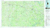 1984 Jasper1985 Print · USGSIn the mid-1980s, the Walker County coalfields were a complex web of rail lines and river terminals. Researchers can trace the industrial heritage of the Mulberry Fork and locate local landmarks like the Carbon Hill National Fish Hatchery or Saragossa Ch.2 unique versions available
 - 2011 Map of Wiley, 2011 Print
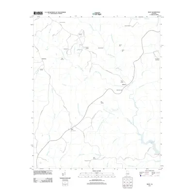 2011 Wiley2011 Print · USGSRural Alabama comes into focus in this 2011 survey, showing the creek valleys and upland ridges of Tuscaloosa County. Researchers can trace ancestral roots through several local burial sites, including Earnest Cemetery and Rock Springs Cemetery.
 - 2014 Map of Wiley, 2014 Print
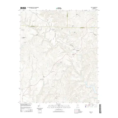 2014 Wiley2014 Print · USGSThe tri-county border of Fayette, Walker, and Tuscaloosa comes alive in the 2010s at the northern reaches of Bankhead Lake. Genealogists can trace family footprints across several rural burial sites, including Wiley Cem, Goodwater Cem, and Sandtown Cem.
 - 2018 Map of Wiley, 2018 Print
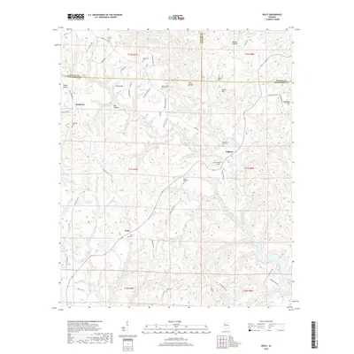 2018 Wiley2018 Print · USGSNear the triple-county junction of Tuscaloosa, Fayette, and Walker, this 2010s survey captures a deeply dissected hill country landscape. Researchers can find numerous family cemeteries like Wiley Cem and Sandtown Cem alongside landmarks like Thompson Mtn.
 - 2020 Map of Wiley, 2020 Print
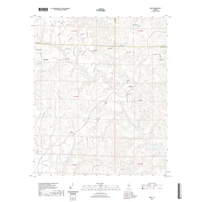 2020 Wiley2020 Print · USGSThe hills of Tuscaloosa and Fayette counties come alive in this recent survey of rural Alabama. Genealogists and historians can trace family ties through numerous local landmarks, including Sandtown Cem, Wiley Cem, and the waters of Bankhead Lake.
 - 2024 Map of Wiley, 2024 Print
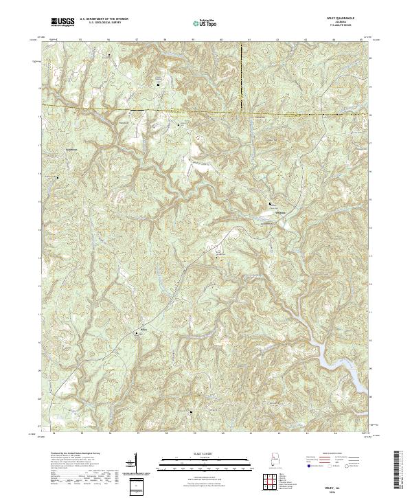 2024 Wiley2024 Print · USGSThe tri-county borderlands of Fayette, Walker, and Tuscaloosa are captured here as a patchwork of timbered ridges and creek-bottom settlements. Researchers can trace family sites at Wiley Cem and Sandtown Cem or follow historic routes like Old Jasper Rd.
End of results
Showing maps 1-12 of 12
Top cities near Whitson
- Tuscaloosa historical maps
- Jasper historical maps
- Cordova historical maps
- Berry historical maps
- Parrish historical maps
- Oakman historical maps
Frequently asked questions
- What are the different types of historical maps available for Whitson?
- What is the oldest map of Whitson?
- Where can I purchase historical maps of Whitson for my home or office?
- Where can I download high-res historical maps of Whitson?
- Are there historical topographic maps available for Whitson?
- Is there historical aerial imagery available for Whitson?
- Where are historical maps of Whitson sourced from?