2020s Maps of Carbon Hill, Alabama
Explore 8 historic maps of Carbon Hill from the 2020s. These maps offer a rare glimpse into what life looked like during the 2020s — showing old roads, neighborhoods, homes, and landmarks that have changed or disappeared over time.
Whether you're researching your family's past, planning a metal detecting trip, or studying how Carbon Hill's landscape evolved across the 2020s, these high-resolution maps are a powerful tool for exploring the history of this region.
- Focus on a specific era: All maps on this page are from the 2020s, giving you a focused view of this time period.
- See what’s changed: Compare century-old streets, trails, and buildings to today's modern landscape using overlays and satellite layers.
- Research with precision: Use these maps for genealogy, historical research, land use analysis, or educational projects.
- View, download, or print: Maps are fully viewable online in high resolution, and can be downloaded or printed for your own records.
Start exploring Carbon Hill's history through authentic maps from the 2020s. This is your window into the past.
Carbon Hill, AL maps
(8)- 2020 Map of Howard, 2020 Print
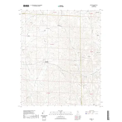 2020 Howard2020 Print · USGSCovers Carbon Hill, including Howard, Studdards Crossroads, and other nearby areas
 - 2020 Map of Carbon Hill, 2020 Print
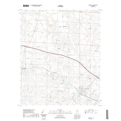 2020 Carbon Hill2020 Print · USGSCovers Carbon Hill, including Kansas, Eldridge, and other nearby areas
 - 2020 Map of Townley, 2020 Print
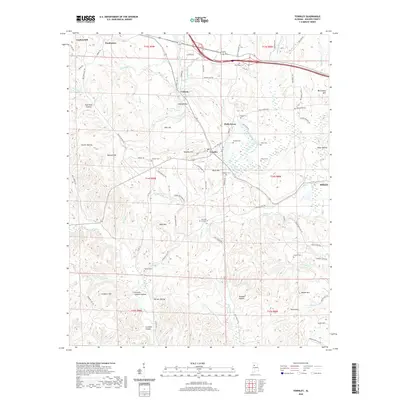 2020 Townley2020 Print · USGSCovers Carbon Hill, including Hilliard, Cedrum, and other nearby areas
 - 2021 Map of Nauvoo, 2021 Print
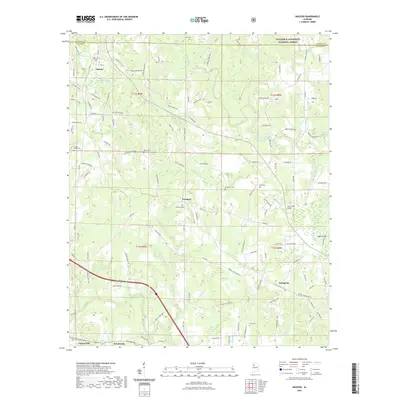 2021 Nauvoo2021 Print · USGSCovers Carbon Hill, including Nauvoo, Prospect, and other nearby areas
 - 2024 Map of Howard, 2024 Print
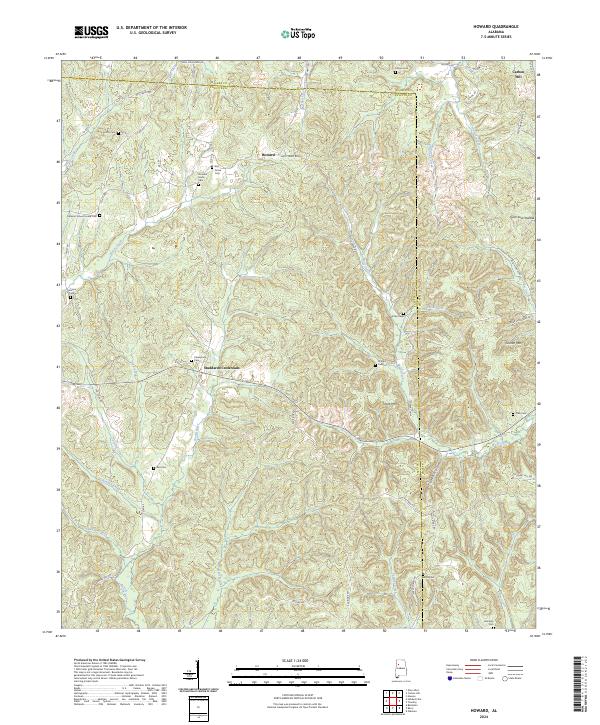 2024 Howard2024 Print · USGSThe borderlands of Fayette and Walker counties come into focus in this contemporary survey of North Alabama. Researchers can locate numerous family-named burial sites like Whitley Cem and Harris Cem, or trace the rural routes connecting Studdards Crossroads and Howard.
 - 2024 Map of Townley, 2024 Print
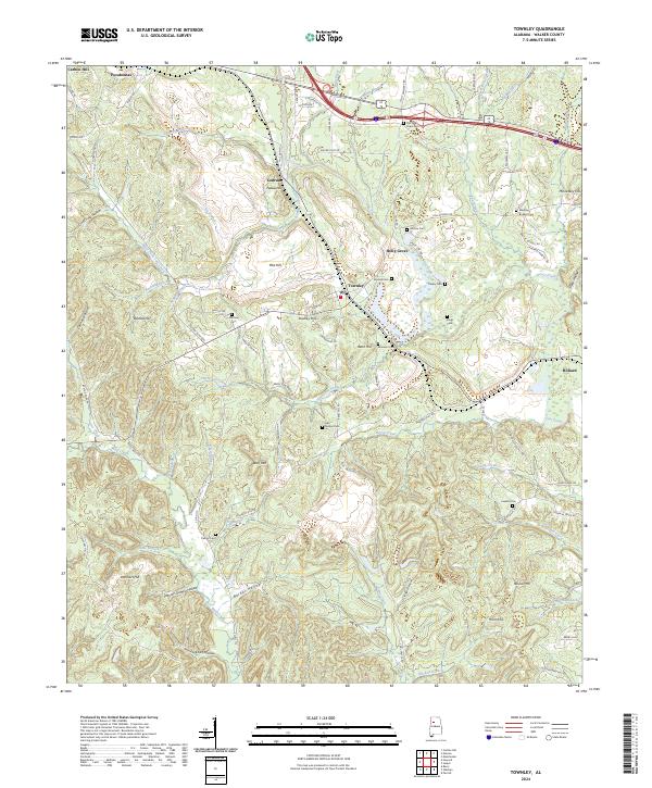 2024 Townley2024 Print · USGSWalker County's coal-country landscape is documented here in the early twenty-first century, showcasing the area's deep-rooted family history. Researchers can locate numerous ancestral burial grounds like Old New Hope Cem and Kings Cem near Townley.
 - 2024 Map of Nauvoo, 2024 Print
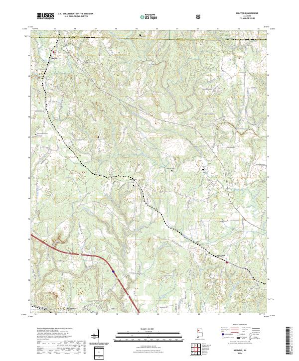 2024 Nauvoo2024 Print · USGSThe borderlands of Winston and Walker Counties come into focus in this recent survey of Nauvoo and the southern edge of the Bankhead National Forest. Researchers can trace rural family roots through numerous local landmarks like Saragossa, Pocahontas, and the Old Flatwoods Cem.
 - 2024 Map of Carbon Hill, 2024 Print
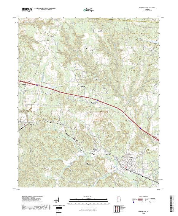 2024 Carbon Hill2024 Print · USGSWalker and Winston counties in the modern era show a landscape where established towns like Carbon Hill meet the quiet woods of the Alabama interior. Researchers can trace family history through numerous rural burial sites like Shiloh Cem and Springhill Cem or follow the paths of Lost Creek and Trinity Creek.
End of results
Showing maps 1-8 of 8
Top cities near Carbon Hill
- Jasper historical maps
- Winfield historical maps
- Berry historical maps
- Parrish historical maps
- Brilliant historical maps
- Oakman historical maps
See more
Frequently asked questions
- What are the different types of historical maps available for Carbon Hill?
- What is the oldest map of Carbon Hill?
- Where can I purchase historical maps of Carbon Hill for my home or office?
- Where can I download high-res historical maps of Carbon Hill?
- Are there historical topographic maps available for Carbon Hill?
- Is there historical aerial imagery available for Carbon Hill?
- Where are historical maps of Carbon Hill sourced from?