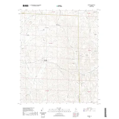
2020 Map of Howard
USGS Topo · Published 2020About this map
Studdards Crossroads and the small community of Howard anchor this portion of the Alabama landscape along the border of Walker and Fayette counties. The topography is defined by the numerous drainages of the N River, including Boxes Cr, Wolf Cr, and George Cr, which carve through the terrain to create distinctive features like Gum Suck Hollow and Frozen Hollow. Significant elevation is noted at Cooner Mtn and Tittle Mtn, providing a sense of the upland character that defines this region north of the Carbon Hill area.
Find a feature on this map
70 named features on this map. Tap any name to fly to it.
Don’t see what you’re looking for? This feature index may not catch every label — zoom into the map to look around manually.
Map Details
Editions of this 2020 Howard Map
This is the sole edition of this map. No revisions or reprints were ever made.
Other maps of this area

1893 · Jasper
USGS Topo · 1:125,000

1949 · Townley
USGS Topo · 1:24,000

1949 · Oakman
USGS Topo · 1:24,000

1949 · Nauvoo
USGS Topo · 1:24,000

1950 · Nauvoo
USGS Topo · 1:24,000

1951 · Oakman
USGS Topo · 1:24,000

1951 · Townley
USGS Topo · 1:24,000

1953 · Birmingham
USGS Topo · 1:250,000

1956 · Birmingham
USGS Topo · 1:250,000

1957 · Birmingham
USGS Topo · 1:250,000