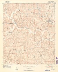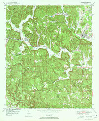
1949 Map of Oakman
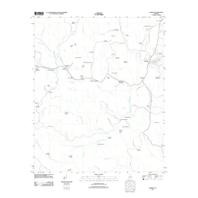
USGS Topo · Published 1972About this map
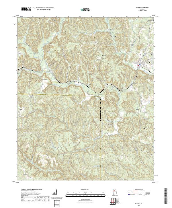
The Southern railroad line serves as the industrial backbone of this terrain, connecting mining and timber communities like Oakman and Coal Valley along the winding course of Cane Creek. In the late 1940s, the landscape was a mosaic of steep ridges and hollows, such as Birmingham Hollow and Patton Hollow, where small settlements and family landmarks were tucked away from the main rail corridors. The presence of the Patton Hill Fire Tower on Patton Hill suggests the importance of forest management in this heavily wooded region of the Walker and Fayette County border.
Find a feature on this map
62 named features on this map. Tap any name to fly to it.
Don’t see what you’re looking for? This feature index may not catch every label — zoom into the map to look around manually.
Map Details
Editions of this 1949 Oakman Map
2 editions found
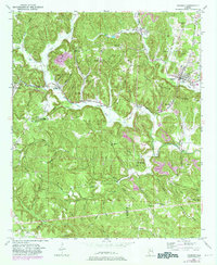
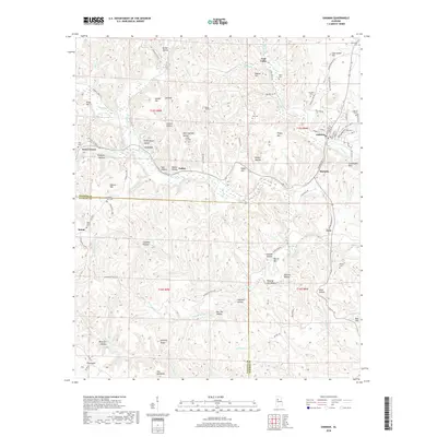
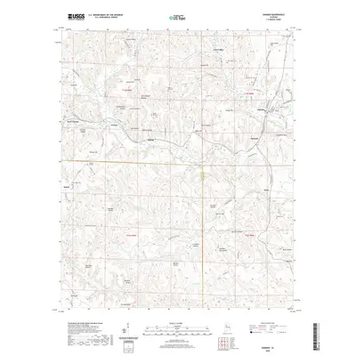
Historical Maps of Oakman Through Time
7 maps found