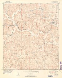
1949 Map of Oakman
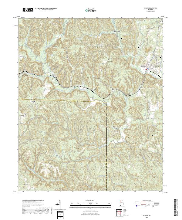
USGS Topo · Published 1981About this map
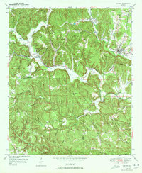
Wolf Creek carves a deep path through the coal-rich hills of Walker County, where the Southern railroad lines dictated the growth of several mining and timber communities. The town of Oakman serves as the primary hub, while smaller rail-adjacent settlements like Coal Valley, Patton, and Corona illustrate the industrial density of the mid-20th century. The topography is defined by prominent ridges such as Props Mountain and Clemments Mountain, with the distinctive The Backbone rising to the south. Local heritage is preserved in numerous family and community sites, including Infant Hill Cemetery and Mt Zion Ch. Cultural shifts are visible through purple photorevisions that highlight road changes and land development around Marietta and Stephenson Crossing, while the Patton Hill Fire Tower stands as a sentinel over the heavily wooded terrain of the Dividing Ridge corridor.
Find a feature on this map
61 named features on this map. Tap any name to fly to it.
Don’t see what you’re looking for? This feature index may not catch every label — zoom into the map to look around manually.
Map Details
Editions of this 1949 Oakman Map
2 editions found
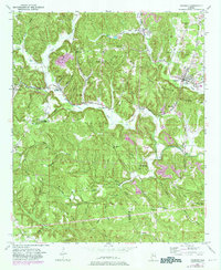
Historical Maps of Oakman Through Time
7 maps found