Old Maps of Oakman, Alabama for Metal Detecting
Plan your next treasure hunt with 19 historic maps of Oakman. Find old homesites, ghost towns, trails, and gathering spots that may be lost to time — perfect for identifying promising metal detecting locations.
- Locate forgotten sites: Uncover places like long-lost settlements, abandoned rail lines, or gathering spots.
- Plan better hunts: Use map overlays combined with LiDAR or satellite views to narrow in on historically rich areas.
- Made for detectorists: Thousands of hobbyists use these maps to discover relics, coins, and hidden history.
Use these historic maps to boost your research and find new opportunities beneath the surface of Oakman.
Oakman, AL maps
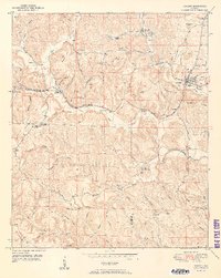
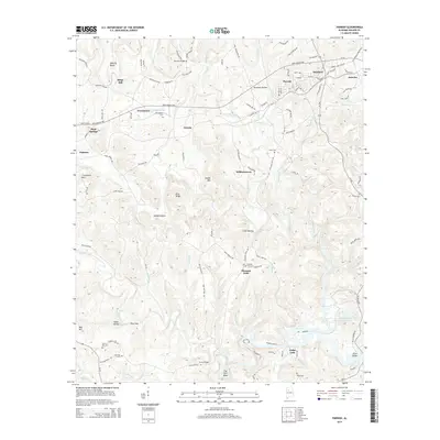
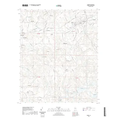
(19)- 1893 Map of Jasper
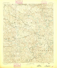 1893 Jasper1893 Print · USGSNorthern Alabama’s coal and timber country comes into focus in the 1890s as railroads began to penetrate the river valleys. Genealogists and historians can trace family-named river crossings like Miller Ferry and Baltimore Ford or early industry at Gamble Mines.5 unique versions available
 - 1949 Map of Parrish, 1967 Print
 1949 Parrish1967 Print · USGSWalker County during the late 1940s reveals a landscape shaped by coal and rail around the junctions of Parrish and Oakman. Researchers can trace the development of small mining hamlets like Standard or locate rural landmarks like Old Liberty Hill Church and the Pleasant Field School.2 unique versions available
 - 1949 Map of Oakman, 1972 Print
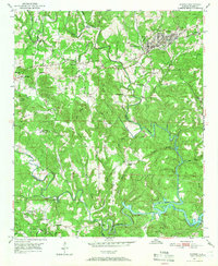
 1949 Oakman1972 Print · USGSThe Walker County coal and rail landscape comes alive in this post-war survey of the Oakman area. Researchers can trace the SOUTHERN railroad through the hills to locate Coal Valley, the Patton Hill Fire Tower, and local landmarks like Infant Hill Cemetery.2 unique versions available
 - 1951 Map of Parrish
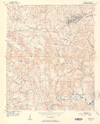 1951 Parrish1951 Print · USGSWalker County in the early fifties shows a landscape of coal mining and rural settlements shaped by the Southern railroad. Researchers can trace family history at Old Liberty Hill Church, Ernest Chapel, and the community of Parrish.2 unique versions available
 - 1951 Map of Oakman
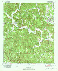
 1951 Oakman1951 Print · USGSWalker and Fayette counties come into focus in the early fifties, showing the rail-dependent settlements of the coal region. Researchers can trace family history through several rural landmarks, including Mt Zion Ch, Infant Hill Cemetery, and the depot at Corona.2 unique versions available
 - 1953 Map of Birmingham, 1964 Print
 1953 Birmingham1964 Print · USGSCentral Alabama at mid-century shows a landscape defined by industrial expansion and the iron-rich ridges surrounding Birmingham. Researchers can trace the extensive rail networks of the L & N RR or locate historic federal sites like the Anniston Ordnance Depot.4 unique versions available
 - 1956 Map of Birmingham
 1956 Birmingham1956 Print · USGSCentral Alabama in the mid-fifties exhibits a landscape of growing cities and deep-rooted industrial corridors. Genealogists and historians can trace the development of suburban Mountain Brook or locate regional hubs like Sylacauga and Jasper.
 - 1957 Map of Birmingham
 1957 Birmingham1957 Print · USGSNorth-Central Alabama in the mid-fifties is an industrial powerhouse centered on the steel valleys and sprawling iron ridges. Genealogists and historians can trace the rail-linked growth of Birmingham and Tuscaloosa, or locate rural landmarks like Talladega College and the Anniston Ordnance Depot.
 - 1984 Map of Jasper, 1985 Print
 1984 Jasper1985 Print · USGSIn the mid-1980s, the Walker County coalfields were a complex web of rail lines and river terminals. Researchers can trace the industrial heritage of the Mulberry Fork and locate local landmarks like the Carbon Hill National Fish Hatchery or Saragossa Ch.2 unique versions available
 - 2011 Map of Parrish, 2011 Print
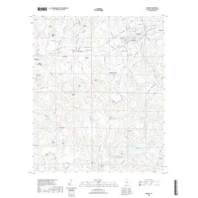
 2011 Parrish2011 Print · USGSCovers Oakman, including Parrish, Williamstown, and other nearby areas
 - 2011 Map of Oakman, 2011 Print
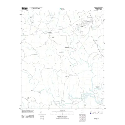
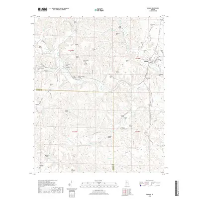
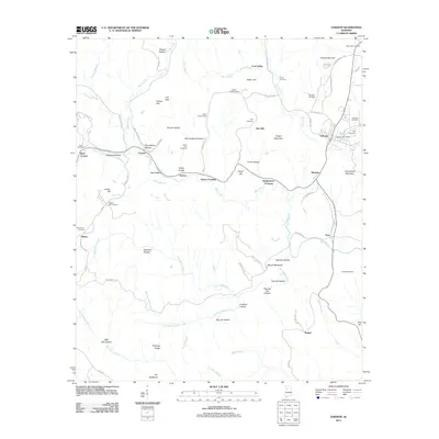 2011 Oakman2011 Print · USGSCovers Oakman, including Patton, Enoe, and other nearby areas
 - 2014 Map of Oakman, 2014 Print
 2014 Oakman2014 Print · USGSCovers Oakman, including Patton, Enoe, and other nearby areas
 - 2014 Map of Parrish, 2014 Print
 2014 Parrish2014 Print · USGSCovers Oakman, including Parrish, Williamstown, and other nearby areas
 - 2018 Map of Oakman, 2018 Print
 2018 Oakman2018 Print · USGSCovers Oakman, including Patton, Enoe, and other nearby areas
 - 2018 Map of Parrish, 2018 Print
 2018 Parrish2018 Print · USGSCovers Oakman, including Parrish, Williamstown, and other nearby areas
 - 2020 Map of Oakman, 2020 Print
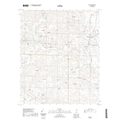 2020 Oakman2020 Print · USGSCovers Oakman, including Patton, Enoe, and other nearby areas
 - 2020 Map of Parrish, 2020 Print
 2020 Parrish2020 Print · USGSCovers Oakman, including Parrish, Williamstown, and other nearby areas
 - 2024 Map of Parrish, 2024 Print
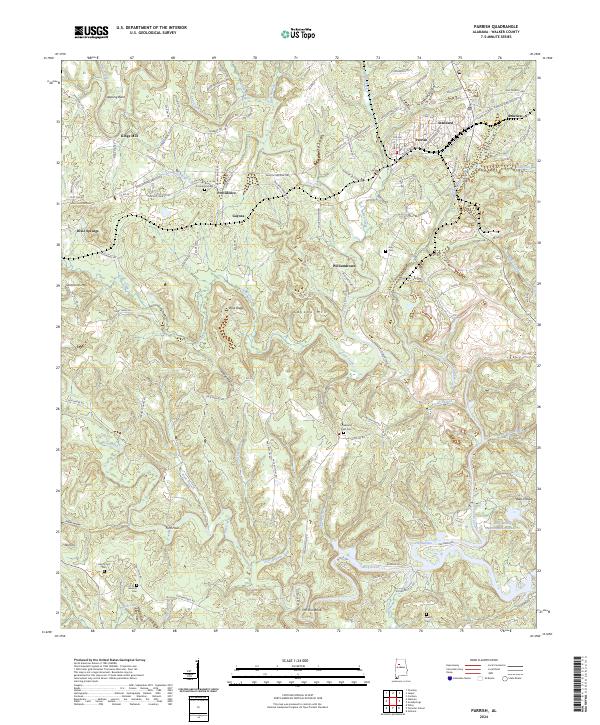 2024 Parrish2024 Print · USGSWalker County settlement and coal country industry are documented here in the early twenty-first century. Researchers can trace family history at Gilchrist Cem and Liberty Hill Cem or locate the junction of the BNSF Railway at Parrish.
 - 2024 Map of Oakman, 2024 Print
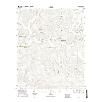
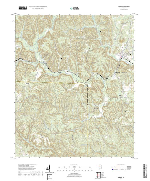 2024 Oakman2024 Print · USGSOakman and the surrounding Walker County coal country appear here in modern detail. Genealogists can trace family sites at Infant Hill Cem and Woods Cem, while exploring landmarks like The Backbone and the old community of Coal Valley.
End of results
Showing maps 1-19 of 19
Top cities near Oakman
- Jasper historical maps
- Carbon Hill historical maps
- Cordova historical maps
- Berry historical maps
- Parrish historical maps
- Kansas historical maps
See more
Top neighborhoods of Oakman
Frequently asked questions
- What are the different types of historical maps available for Oakman?
- What is the oldest map of Oakman?
- Where can I purchase historical maps of Oakman for my home or office?
- Where can I download high-res historical maps of Oakman?
- Are there historical topographic maps available for Oakman?
- Is there historical aerial imagery available for Oakman?
- Where are historical maps of Oakman sourced from?