Old Maps of Millry, Alabama
Explore 16 old maps of Millry, spanning from 1953 to today. These high-resolution historic maps reveal how streets, neighborhoods, landmarks, and natural features evolved over time — perfect for genealogy, metal detecting, research, and local history exploration.
What you can do with these maps:
- See how Millry changed over time: Compare historical maps to modern-day views to trace roads, homesites, rail lines & more.
- View detailed metadata: Each map includes creators, publishers, year, scale, and archive source.
- Overlay maps with satellite & LiDAR: Visualize the past alongside modern tools to explore terrain & human change.
- Trusted historical sources: Maps sourced from the USGS, Library of Congress, and other archives.
- Access maps your way: View online, download high-res files, or order prints for personal or research use.
Start exploring old maps of Millry to uncover forgotten places, hidden landmarks, and the deep history beneath your feet.
Millry, AL maps
(16)- 1953 Map of Hattiesburg, 1965 Print
 1953 Hattiesburg1965 Print · USGSSouth Mississippi and western Alabama are shown here during the mid-twentieth century as the timber and rail industries shaped the region. Genealogists and historians can trace rail lines like the Mississippi Central and locate rural centers such as Magee, Richton, and Mount Vernon.4 unique versions available
 - 1958 Map of Hattiesburg
 1958 Hattiesburg1958 Print · USGSSoutheastern Mississippi's timber and rail networks are at their peak during the late fifties, centered on the growing hubs of Hattiesburg and Laurel. Researchers can trace old family landmarks like Sims Chapel, the Busbey Game Refuge, and the vanished stops along the Mississippi Central railroad.2 unique versions available
 - 1974 Map of Millry South, 1977 Print
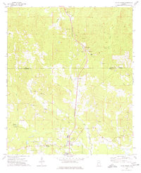
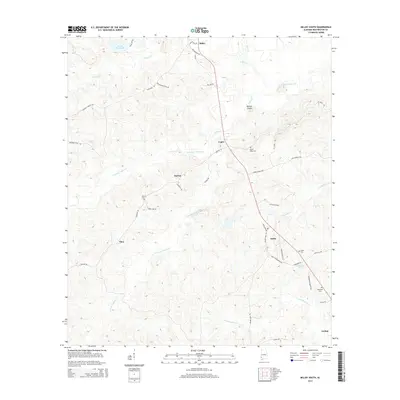
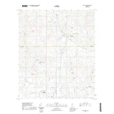
 1974 Millry South1977 Print · USGSSouthwestern Alabama’s timber and rail corridor is captured here in the 1970s, showing the rural communities between the Millry and Jordan settlements. Genealogists can trace family landmarks like Barlow Chapel, Loper Cem, and the historic Old Indian Treaty Boundary.2 unique versions available
 - 1974 Map of Millry North, 1977 Print
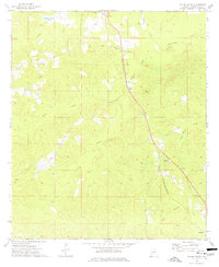
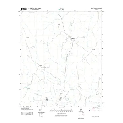
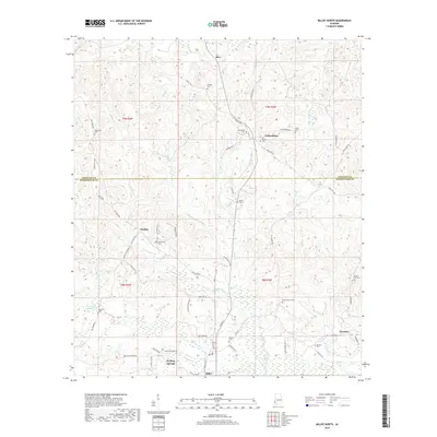
 1974 Millry North1977 Print · USGSThe border of Washington and Choctaw Counties is captured here in the mid-1970s, as the St Louis-San Francisco railroad connects rural hubs. Trace family roots at Winsletts Cem or Mt Zion Chapel, and locate the historic Healing Springs.
 - 1984 Map of Hattiesburg
 1984 Hattiesburg1984 Print · USGSSouth Mississippi’s Pine Belt is seen here in the mid-eighties, showing the region as a hub of timber production and petroleum extraction. Trace the rail lines of the Illinois Central Gulf RR through old settlements like Richton or the energy developments at the Heidelberg Oil Field.2 unique versions available
 - 1984 Map of Waynesboro
 1984 Waynesboro1984 Print · USGSThe borderlands of Mississippi and Alabama come alive in this mid-eighties survey of timber and river country. Researchers can trace the Illinois Central Gulf Railroad corridor through Waynesboro and Shubuta, or locate remote lookouts like Maynor Creek Lookout.2 unique versions available
 - 2011 Map of Millry South, 2011 Print
 2011 Millry South2011 Print · USGSCovers Millry, including Barlow, Loper, and other nearby areas
 - 2011 Map of Millry North, 2011 Print
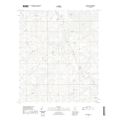
 2011 Millry North2011 Print · USGSCovers Millry, including Silas, Healing Springs, and other nearby areas
 - 2014 Map of Millry South, 2014 Print
 2014 Millry South2014 Print · USGSCovers Millry, including Barlow, Loper, and other nearby areas
 - 2014 Map of Millry North, 2014 Print
 2014 Millry North2014 Print · USGSCovers Millry, including Silas, Healing Springs, and other nearby areas
 - 2018 Map of Millry South, 2018 Print
 2018 Millry South2018 Print · USGSCovers Millry, including Barlow, Loper, and other nearby areas
 - 2018 Map of Millry North, 2018 Print
 2018 Millry North2018 Print · USGSCovers Millry, including Silas, Healing Springs, and other nearby areas
 - 2020 Map of Millry North, 2020 Print
 2020 Millry North2020 Print · USGSCovers Millry, including Silas, Healing Springs, and other nearby areas
 - 2020 Map of Millry South, 2020 Print
 2020 Millry South2020 Print · USGSCovers Millry, including Barlow, Loper, and other nearby areas
 - 2024 Map of Millry South, 2024 Print
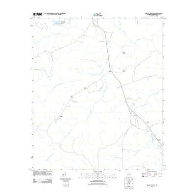
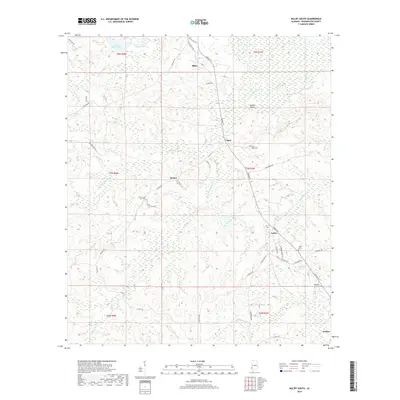
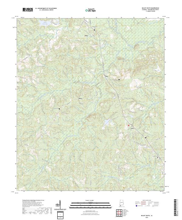 2024 Millry South2024 Print · USGSWashington County, Alabama, is shown here in the mid-2020s, centered on the rural communities of Millry and Yarbo. Researchers can locate family landmarks like Millry Holiness Cem and Rocky Ridge Cem or trace the drainages of Santa Bogue Creek.
 - 2024 Map of Millry North, 2024 Print
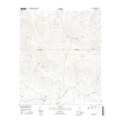
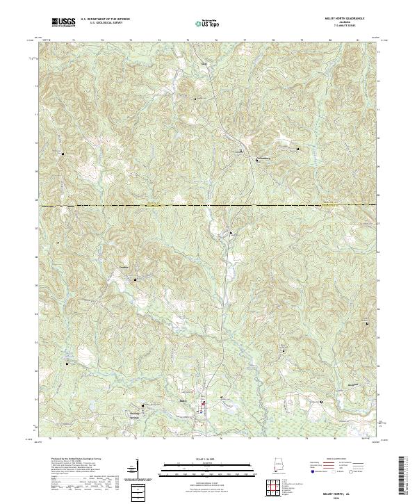 2024 Millry North2024 Print · USGSSouthwest Alabama’s timbered borderlands between Choctaw and Washington Counties are meticulously detailed in this recent survey. Local historians can trace family roots through numerous sites like Healing Springs Cemetery, Millry Cemetery, and the historic area around Martin Millpond.
End of results
Showing maps 1-16 of 16
Top cities near Millry
- Chatom historical maps
- Gilbertown historical maps
- State Line historical maps
- Silas historical maps
- Coffeeville historical maps
Top neighborhoods of Millry
Frequently asked questions
- What are the different types of historical maps available for Millry?
- What is the oldest map of Millry?
- Where can I purchase historical maps of Millry for my home or office?
- Where can I download high-res historical maps of Millry?
- Are there historical topographic maps available for Millry?
- Is there historical aerial imagery available for Millry?
- Where are historical maps of Millry sourced from?