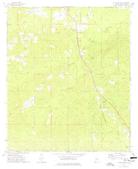
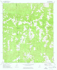
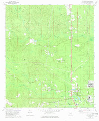
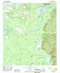
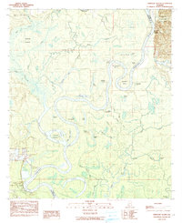
1974 Map of Millry South
USGS Topo · Published 1977This historical map portrays the area of Millry South in 1974, primarily covering Washington County. Featuring a scale of 1:24000, this map provides a highly detailed snapshot of the terrain, roads, buildings, counties, and historical landmarks in the Millry South region at the time. Published in 1977, it is one of 2 known editions of this map due to revisions or reprints.
Find a feature on this map
24 named features on this map. Tap any name to fly to it.
Don’t see what you’re looking for? This feature index may not catch every label — zoom into the map to look around manually.
Map Details
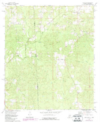
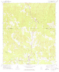
Editions of this 1974 Millry South Map
2 editions found
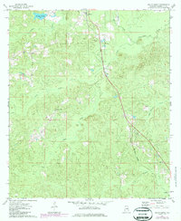
Historical Maps of Millry Through Time
13 maps found
1971 Bigbee
Washington County, AL
1971 Bladon Springs
Washington County, AL
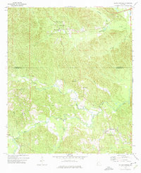
1972 Saint Stephens
Washington County, AL
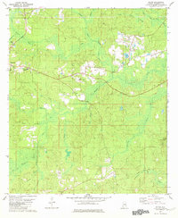
1974 Aquilla
Washington County, AL
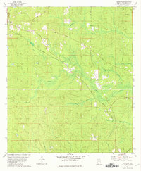
1974 Copeland
Washington County, AL
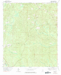
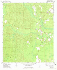
1974 Millry North
Washington County, AL
1974 Millry South
Washington County, AL
1982 Mc Intosh
Washington County, AL
1982 Rutan
Washington County, AL
1982 Seaboard
Washington County, AL
1982 Wagarville
Washington County, AL
1983 Prestwick
Washington County, AL
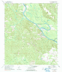
1984 Ginhouse Island
Washington County, AL