2000s (21st Century) Maps of Millry, Alabama
Explore 10 historic maps of Millry from the 2000s (21st Century). These maps offer a rare glimpse into what life looked like during the 2000s — showing old roads, neighborhoods, homes, and landmarks that have changed or disappeared over time.
Whether you're researching your family's past, planning a metal detecting trip, or studying how Millry's landscape evolved across the 2000s, these high-resolution maps are a powerful tool for exploring the history of this region.
- Focus on a specific era: All maps on this page are from the 2000s, giving you a focused view of this time period.
- See what’s changed: Compare century-old streets, trails, and buildings to today's modern landscape using overlays and satellite layers.
- Research with precision: Use these maps for genealogy, historical research, land use analysis, or educational projects.
- View, download, or print: Maps are fully viewable online in high resolution, and can be downloaded or printed for your own records.
Start exploring Millry's history through authentic maps from the 2000s. This is your window into the past.
Millry, AL maps
(10)- 2011 Map of Millry South, 2011 Print
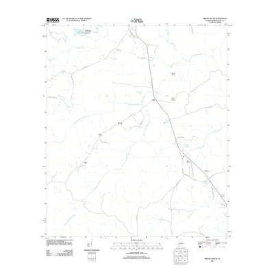 2011 Millry South2011 Print · USGSCovers Millry, including Barlow, Loper, and other nearby areas
 - 2011 Map of Millry North, 2011 Print
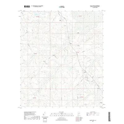
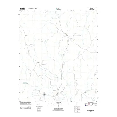 2011 Millry North2011 Print · USGSCovers Millry, including Silas, Healing Springs, and other nearby areas
 - 2014 Map of Millry South, 2014 Print
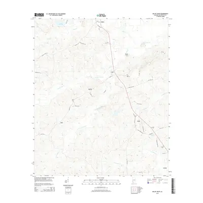 2014 Millry South2014 Print · USGSCovers Millry, including Barlow, Loper, and other nearby areas
 - 2014 Map of Millry North, 2014 Print
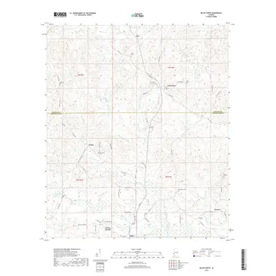
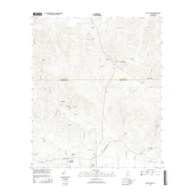 2014 Millry North2014 Print · USGSCovers Millry, including Silas, Healing Springs, and other nearby areas
 - 2018 Map of Millry South, 2018 Print
 2018 Millry South2018 Print · USGSCovers Millry, including Barlow, Loper, and other nearby areas
 - 2018 Map of Millry North, 2018 Print
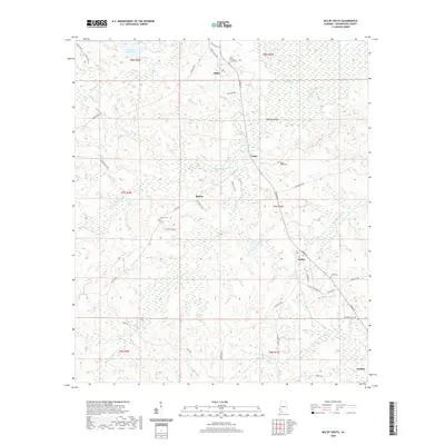
 2018 Millry North2018 Print · USGSCovers Millry, including Silas, Healing Springs, and other nearby areas
 - 2020 Map of Millry North, 2020 Print
 2020 Millry North2020 Print · USGSCovers Millry, including Silas, Healing Springs, and other nearby areas
 - 2020 Map of Millry South, 2020 Print
 2020 Millry South2020 Print · USGSCovers Millry, including Barlow, Loper, and other nearby areas
 - 2024 Map of Millry South, 2024 Print
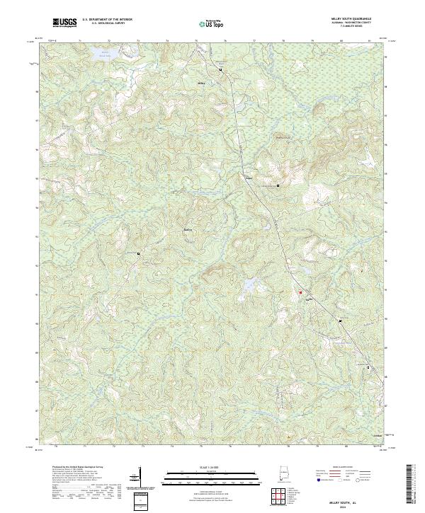 2024 Millry South2024 Print · USGSWashington County, Alabama, is shown here in the mid-2020s, centered on the rural communities of Millry and Yarbo. Researchers can locate family landmarks like Millry Holiness Cem and Rocky Ridge Cem or trace the drainages of Santa Bogue Creek.
 - 2024 Map of Millry North, 2024 Print
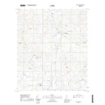
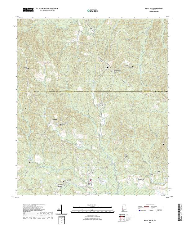 2024 Millry North2024 Print · USGSSouthwest Alabama’s timbered borderlands between Choctaw and Washington Counties are meticulously detailed in this recent survey. Local historians can trace family roots through numerous sites like Healing Springs Cemetery, Millry Cemetery, and the historic area around Martin Millpond.
End of results
Showing maps 1-10 of 10
Top cities near Millry
- Chatom historical maps
- Gilbertown historical maps
- State Line historical maps
- Silas historical maps
- Coffeeville historical maps
Top neighborhoods of Millry
Frequently asked questions
- What are the different types of historical maps available for Millry?
- What is the oldest map of Millry?
- Where can I purchase historical maps of Millry for my home or office?
- Where can I download high-res historical maps of Millry?
- Are there historical topographic maps available for Millry?
- Is there historical aerial imagery available for Millry?
- Where are historical maps of Millry sourced from?