Old Maps of McMahon, Alaska for Academic Research
Study the evolution of McMahon with 14 high-resolution historic maps. Whether you're teaching, researching, or modeling changes in land use, these maps provide essential visual documentation of urban, environmental, and geographic change.
- Analyze long-term change: Track patterns in development, transportation, and natural features.
- Ideal for environmental or urban studies: Support academic projects with primary historical map data.
- Use in the classroom or lab: Educators and researchers rely on these maps to bring historical context to life.
These maps are a powerful tool for teaching, research, and visualizing how McMahon has changed over the decades.
McMahon, AK maps
(14)- 1951 Map of Anchorage
 1951 Anchorage1951 Print · USGSMid-century Anchorage and the Matanuska Valley are seen here during a period of rapid strategic growth. Trace the development of Fort Richardson, early rail stops at Wasilla, and established mining operations like the Independence Mine or Premier Mine.4 unique versions available
 - 1952 Map of Anchorage A-8, 1963 Print
 1952 Anchorage A-81963 Print · USGSAnchorage and its surrounding military hubs are shown here during a period of rapid mid-century expansion. Trace the early footprints of Spenard and Mountain View, or locate landmarks like the International Airport and the Alaska Railroad.4 unique versions available
 - 1953 Map of Anchorage A-8, 1954 Print
 1953 Anchorage A-81954 Print · USGSAnchorage during the early 1950s reveals a city rapidly expanding around its military bases and new aviation hubs. Researchers can trace the development of early neighborhoods like Spenard, the operations of the Alaska Railroad, and local landmarks like the Prison Farm.2 unique versions available
 - 1962 Map of Anchorage, 1966 Print
 1962 Anchorage1966 Print · USGSThe Anchorage bowl and Matanuska Valley appear in this mid-century survey during a period of significant military and industrial expansion. Researchers can trace the Alaska Railroad through Sutton and Jonesville or locate historic stops like Meekins Roadhouse and the Watertower Inn.6 unique versions available
 - 1979 Map of Anchorage A-8 SE
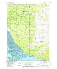 1979 Anchorage A-8 SE1979 Print · USGSThe Cook Inlet coastline and Chugach foothills are captured here in the late seventies as South Anchorage began its suburban expansion. Trace the route of the Alaska Railroad past Potter or locate family-named sites like the Nystrom Landing Strip and O'Malley Sch.2 unique versions available
 - 1979 Map of Anchorage, 1980 Print
 1979 Anchorage1980 Print · USGSThe Anchorage bowl and Matanuska Valley appear in the late seventies as the region's transportation and military infrastructure matured. Genealogists and historians can trace rail and road evolution through Wasilla, the Matanuska Branch line, and Jonesville.
 - 1979 Map of Anchorage A-8 SW, 1980 Print
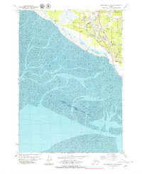 1979 Anchorage A-8 SW1980 Print · USGSCoastal Anchorage and the Turnagain Arm mudflats are captured in the late seventies as suburban growth pushed south. Trace the development of Klatt and neighborhood landmarks like the Evergreen Memorial Cem or the Alaska Railroad line.
 - 1993 Map of Anchorage A-8 SW
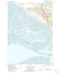 1993 Anchorage A-8 SW1993 Print · USGSSouth Anchorage in the early nineties reveals a landscape of growing residential neighborhoods meeting the tidal mudflats of the Turnagain Arm. Trace local landmarks like the Evergreen Memorial Cem, Potter Marsh, and the Klatt settlement.
 - 1994 Map of Anchorage A-8, 2002 Print
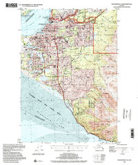 1994 Anchorage A-82002 Print · USGSAnchorage during the mid-nineties shows a city defined by its military bases, university campuses, and bustling aviation hubs. Researchers can trace the development of suburban neighborhoods and major landmarks like the Diamond Center Shopping Mall, Wilson Village, and the Fort Richardson Cem.
 - 2016 Map of Anchorage A-8 SE, 2016 Print
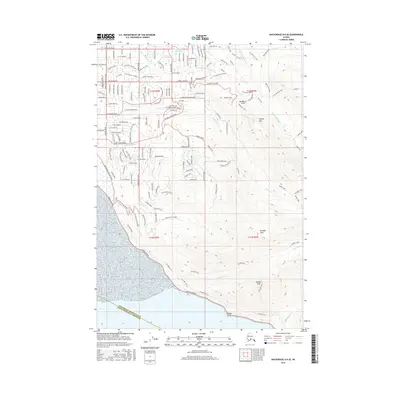 2016 Anchorage A-8 SE2016 Print · USGSThe Anchorage Hillside and Chugach foothills meet at the edge of Turnagain Arm in this 2016 survey. Geologists and local historians can trace the intersection of residential growth and wild alpine terrain, from Potter Marsh and Beluga Point to the heights of Flattop Mtn.
 - 2019 Map of Anchorage A-8 SW, 2019 Print
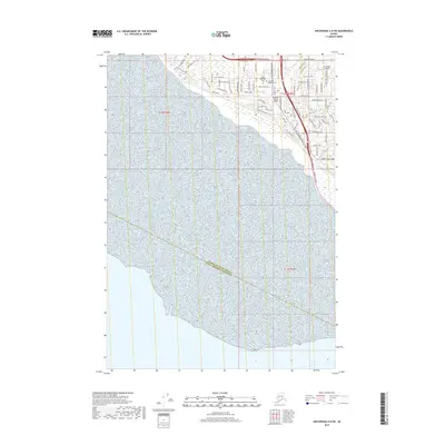 2019 Anchorage A-8 SW2019 Print · USGSThe southern outskirts of Anchorage and the Turnagain Arm shoreline are captured in this recent survey. Local historians can trace aviation sites like Sky Harbor Airport or search for family connections at Evergreen Memorial Cem and Angelus Memorial Park.
 - 2021 Map of Anchorage A-8 SE, 2021 Print
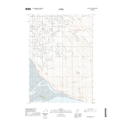 2021 Anchorage A-8 SE2021 Print · USGSThe hillside neighborhoods south of Anchorage meet the peaks of the Chugach Mountains in this detailed 2021 survey. Researchers can trace the interface of residential expansion and wild coastal terrain near Potter Marsh, Flattop Mtn, and Beluga Point.
 - 2021 Map of Anchorage A-8 SW, 2021 Print
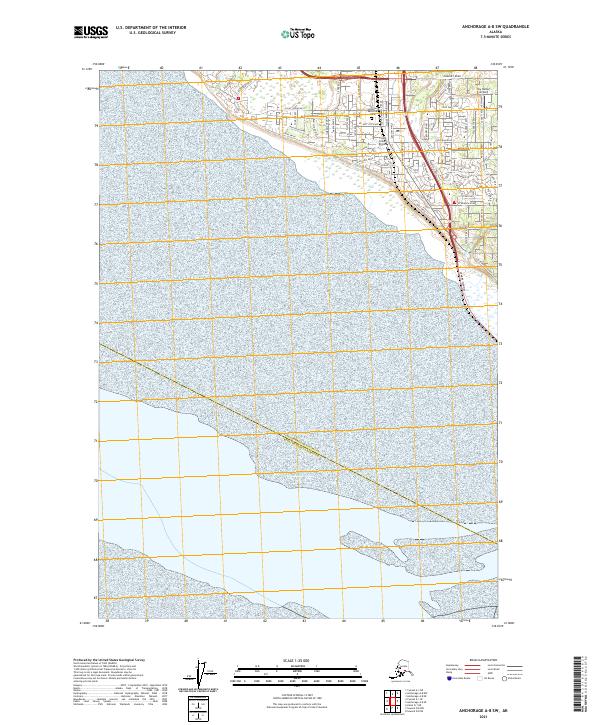 2021 Anchorage A-8 SW2021 Print · USGSCoastal Anchorage in the twenty-first century reveals a dense network of suburban development and aviation history. Trace local infrastructure from the Angelus Memorial Park to the runways at Flying Crown Airport and Sky Harbor Airport.
 - 2023 Map of Anchorage A-8 SE, 2023 Print
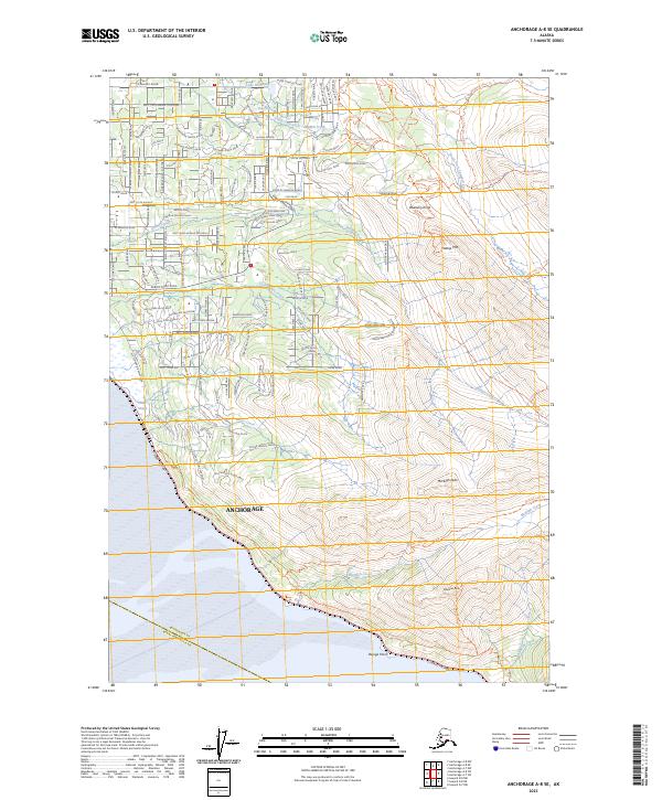 2023 Anchorage A-8 SE2023 Print · USGSAnchorage in the 2020s shows a striking balance between residential expansion and the wild peaks of the Chugach. Trace the interface of suburban streets like De Armoun Road with natural landmarks like Potter Marsh and Flattop Mtn.
End of results
Showing maps 1-14 of 14
Frequently asked questions
- What are the different types of historical maps available for McMahon?
- What is the oldest map of McMahon?
- Where can I purchase historical maps of McMahon for my home or office?
- Where can I download high-res historical maps of McMahon?
- Are there historical topographic maps available for McMahon?
- Is there historical aerial imagery available for McMahon?
- Where are historical maps of McMahon sourced from?