Old Maps of Irish Hills, Alaska for Academic Research
Study the evolution of Irish Hills with 10 high-resolution historic maps. Whether you're teaching, researching, or modeling changes in land use, these maps provide essential visual documentation of urban, environmental, and geographic change.
- Analyze long-term change: Track patterns in development, transportation, and natural features.
- Ideal for environmental or urban studies: Support academic projects with primary historical map data.
- Use in the classroom or lab: Educators and researchers rely on these maps to bring historical context to life.
These maps are a powerful tool for teaching, research, and visualizing how Irish Hills has changed over the decades.
Irish Hills, AK maps
(10)- 1951 Map of Anchorage
 1951 Anchorage1951 Print · USGSMid-century Anchorage and the Matanuska Valley are seen here during a period of rapid strategic growth. Trace the development of Fort Richardson, early rail stops at Wasilla, and established mining operations like the Independence Mine or Premier Mine.4 unique versions available
 - 1952 Map of Anchorage B-8, 1965 Print
 1952 Anchorage B-81965 Print · USGSNorth of Anchorage in the early fifties, the landscape transitions from the historic Iditarod Trail at Knik to the rising military infrastructure of Elmendorf Air Force Base. Trace early transportation routes like the Alaska Railroad and Glenn Highway as they cross the Eagle River Flats.
 - 1953 Map of Anchorage B-8, 1954 Print
 1953 Anchorage B-81954 Print · USGSThe Knik Arm and upper Cook Inlet region show a mix of historic dog-team routes and Cold War military growth in the early fifties. You can trace the Iditarod Trail near Knik or locate early landmarks like Sandpiper Lodge and the Kermit Roosevelt Memorial Cem.2 unique versions available
 - 1962 Map of Anchorage, 1966 Print
 1962 Anchorage1966 Print · USGSThe Anchorage bowl and Matanuska Valley appear in this mid-century survey during a period of significant military and industrial expansion. Researchers can trace the Alaska Railroad through Sutton and Jonesville or locate historic stops like Meekins Roadhouse and the Watertower Inn.6 unique versions available
 - 1965 Map of Anchorage B-8
 1965 Anchorage B-81965 Print · USGSThe northern reaches of Cook Inlet are shown in the mid-twentieth century as military installations and rail lines expanded across the glacial moraine. Modern researchers can trace the historic Iditarod Trail, the settlement of Knik, and the early infrastructure of Elmendorf Air Force Base.
 - 1979 Map of Anchorage, 1980 Print
 1979 Anchorage1980 Print · USGSThe Anchorage bowl and Matanuska Valley appear in the late seventies as the region's transportation and military infrastructure matured. Genealogists and historians can trace rail and road evolution through Wasilla, the Matanuska Branch line, and Jonesville.
 - 1979 Map of Anchorage B-8 NW, 1980 Print
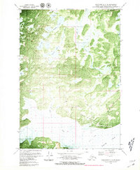 1979 Anchorage B-8 NW1980 Print · USGSThe Matanuska-Susitna coastline comes into focus in the late seventies, centered on the strategic military outpost at Goose Bay Air Force Auxiliary Field. Researchers can trace early infrastructure along Goose Bay Road and identify numerous water bodies like Sevenmile Lake and Cranberry Lake.2 unique versions available
 - 1994 Map of Anchorage B-8, 2002 Print
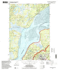 1994 Anchorage B-82002 Print · USGSThe Matanuska-Susitna region and the northern reaches of Anchorage meet here in the 1990s, where the historic Iditarod path intersects with modern military airfields. Researchers can trace the National Historic Trail (Iditarod) near Knik or locate the Ursa Major Sch within Elmendorf Air Force Base.
 - 2016 Map of Anchorage B-8 NW, 2016 Print
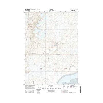 2016 Anchorage B-8 NW2016 Print · USGSThe Matanuska-Susitna lowlands in the mid-2010s show a unique blend of wilderness lakes and residential expansion north of Goose Bay. Genealogists and local historians can trace family land and aviation history near Brown's Homestead Airport, Big Lake, and Goose Bay Airport.
 - 2023 Map of Anchorage B-8 NW, 2023 Print
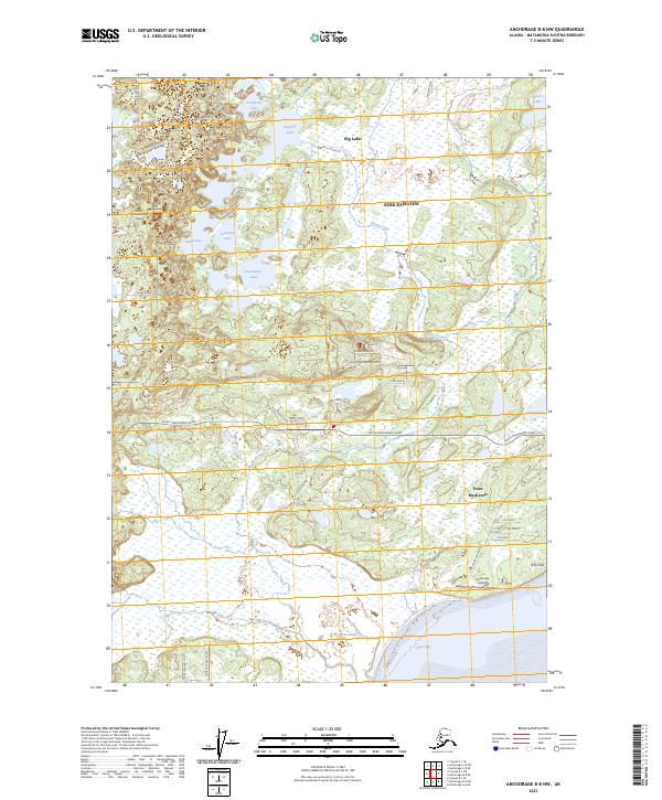 2023 Anchorage B-8 NW2023 Print · USGSAnchorage and the Matanuska-Susitna Borough appear here in 2023, showcasing a landscape of complex wetlands and increasing residential development. Researchers can trace the layout of Knik-Fairview, identify landmarks like Brown's Homestead Airport, and explore the shoreline of Goose Bay.
End of results
Showing maps 1-10 of 10
Frequently asked questions
- What are the different types of historical maps available for Irish Hills?
- What is the oldest map of Irish Hills?
- Where can I purchase historical maps of Irish Hills for my home or office?
- Where can I download high-res historical maps of Irish Hills?
- Are there historical topographic maps available for Irish Hills?
- Is there historical aerial imagery available for Irish Hills?
- Where are historical maps of Irish Hills sourced from?