Old Maps of New Tokeen, Alaska
Explore 6 old maps of New Tokeen, spanning from 1949 to today. These high-resolution historic maps reveal how streets, neighborhoods, landmarks, and natural features evolved over time — perfect for genealogy, metal detecting, research, and local history exploration.
What you can do with these maps:
- See how New Tokeen changed over time: Compare historical maps to modern-day views to trace roads, homesites, rail lines & more.
- View detailed metadata: Each map includes creators, publishers, year, scale, and archive source.
- Overlay maps with satellite & LiDAR: Visualize the past alongside modern tools to explore terrain & human change.
- Trusted historical sources: Maps sourced from the USGS, Library of Congress, and other archives.
- Access maps your way: View online, download high-res files, or order prints for personal or research use.
Start exploring old maps of New Tokeen to uncover forgotten places, hidden landmarks, and the deep history beneath your feet.
New Tokeen, AK maps
(6)- 1949 Map of Craig D-4, 1964 Print
 1949 Craig D-41964 Print · USGSPrince of Wales Island in the late 1940s reveals a landscape of maritime settlements and shifting populations. Trace the locations of Deweyville and Tuxekan or locate the Seaplane Base and Silver Salmon Falls among the coastal narrows.3 unique versions available
 - 1951 Map of Craig D-4, 1953 Print
 1951 Craig D-41953 Print · USGSCoastal Prince of Wales Island is shown in the early fifties when remote settlements were already fading into the forest. Genealogists and historians can locate Deweyville (Aban'd), Tuxekan (Aban'd), and the marble-quarrying grounds near Tokeen.2 unique versions available
 - 1957 Map of Craig, 1959 Print
 1957 Craig1959 Print · USGSSoutheast Alaska’s intricate archipelago is revealed in the mid-1950s, detailing a coastal economy driven by remote mines and fishing outposts. Genealogists and historians can trace family roots in Craig, Hydaburg, and Klawak, or locate former sites like Tuxekan and the Salt Chuck Mine.3 unique versions available
 - 1994 Map of Craig D-4, 1998 Print
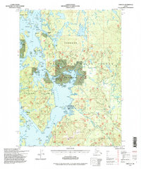 1994 Craig D-41998 Print · USGSPrince of Wales Island in the 1990s shows the transition from water-based transport to a growing network of timber roads. Researchers can trace the location of Deweyville (Aban'd), the Lighthouse Reserve, and the Naukati Bunkhouse (FS).
 - 2017 Map of Craig D-4 NW, 2017 Print
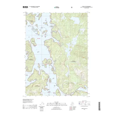 2017 Craig D-4 NW2017 Print · USGSCoastal Prince of Wales Island appears in the late 2010s as a complex network of timber roads and traditional waterways. Researchers can trace forest access routes like the Deweyville Trail or locate landmarks such as Graveyard Island and Naukati Bay.
 - 2021 Map of Craig D-4 NW, 2021 Print
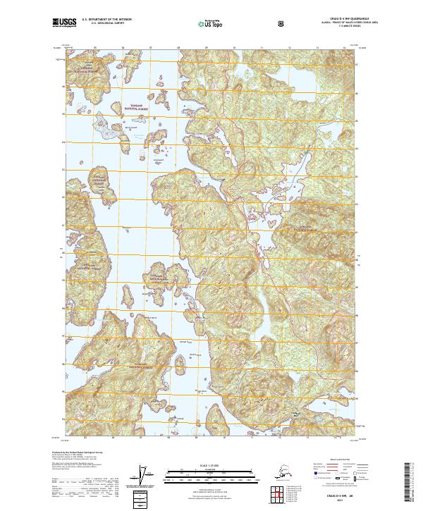 2021 Craig D-4 NW2021 Print · USGSPrince of Wales Island's coastal wilderness comes into focus in this recent survey, showcasing the maritime landscape near Naukati Bay. Researchers can trace old forest routes like the Deweyville Trl and Sarkar Canoe Route Trl alongside landmarks like Graveyard Island.
End of results
Showing maps 1-6 of 6
Frequently asked questions
- What are the different types of historical maps available for New Tokeen?
- What is the oldest map of New Tokeen?
- Where can I purchase historical maps of New Tokeen for my home or office?
- Where can I download high-res historical maps of New Tokeen?
- Are there historical topographic maps available for New Tokeen?
- Is there historical aerial imagery available for New Tokeen?
- Where are historical maps of New Tokeen sourced from?