
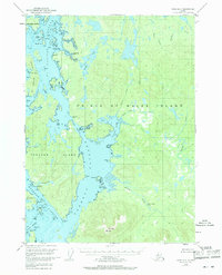
1949 Map of Craig D-4
USGS Topo · Published 1964About this map
Prince of Wales Island and the complex waterways of the Alexander Archipelago are captured here in 1949, reflecting a period when maritime activity was the primary pulse of the region. The map documents several significant sites of former habitation, explicitly marking Deweyville, Tuxekan, and Karheen as abandoned, which provides critical data for genealogists and historians tracing the shift of indigenous and industrial settlements in Southeast Alaska.
Find a feature on this map
63 named features on this map. Tap any name to fly to it.
Don’t see what you’re looking for? This feature index may not catch every label — zoom into the map to look around manually.
Map Details
Editions of this 1949 Craig D-4 Map
3 editions found
Other maps of this area

1949 · Craig D-3
USGS Topo · 1:63,360

1949 · Petersburg A-3
USGS Topo · 1:63,360

1949 · Petersburg A-5
USGS Topo · 1:63,360

1949 · Petersburg A-4
USGS Topo · 1:63,360

1949 · Craig C-3
USGS Topo · 1:63,360

1949 · Craig C-4
USGS Topo · 1:63,360

1950 · Craig D-3
USGS Topo · 1:63,360

1951 · Craig C-3
USGS Topo · 1:63,360

1951 · Craig C-4
USGS Topo · 1:63,360

1951 · Craig C-5
USGS Topo · 1:63,360