
1949 Map of Craig C-3
USGS Topo · Published 1964About this map
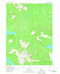
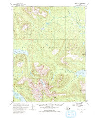
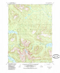
Prince of Wales Island dominates this mid-century topographic study, revealing a landscape defined by its complex drainage systems and early industrial footprints within the Tongass National Forest. The map captures the central ruggedness of the island, where high points like Granite Mtn and Pin Peak overlook a network of water bodies including Big Salt Lake and Salmon Lake.
Find a feature on this map
19 named features on this map. Tap any name to fly to it.
Don’t see what you’re looking for? This feature index may not catch every label — zoom into the map to look around manually.
Map Details
Editions of this 1949 Craig C-3 Map
4 editions found
Other maps of this area

1949 · Craig D-3
USGS Topo · 1:63,360

1949 · Craig C-2
USGS Topo · 1:63,360

1949 · Craig D-2
USGS Topo · 1:63,360

1949 · Craig B-2
USGS Topo · 1:63,360

1949 · Craig D-4
USGS Topo · 1:63,360

1949 · Craig B-3
USGS Topo · 1:63,360

1949 · Craig C-4
USGS Topo · 1:63,360

1949 · Craig B-4
USGS Topo · 1:63,360

1950 · Craig D-3
USGS Topo · 1:63,360

1951 · Craig C-3
USGS Topo · 1:63,360