
1949 Map of Craig B-3
USGS Topo · Published 1964About this map
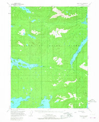
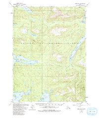
Prince of Wales Island is depicted here during the post-war period of the late 1940s, a landscape defined by industrial extractives and maritime navigation. The mapping shows the early footprint of Hollis on the eastern shore of Twelvemile Arm, which served as a critical jumping-off point for regional mining operations. Traces of the territory's earlier mineral booms are visible in the Puyallup Mine (Aband'd) and the Dawson Mine near the northern edge, indicating the shift from active production to a more established wilderness character.
Find a feature on this map
25 named features on this map. Tap any name to fly to it.
Don’t see what you’re looking for? This feature index may not catch every label — zoom into the map to look around manually.
Map Details
Editions of this 1949 Craig B-3 Map
3 editions found
Other maps of this area

1948 · Craig A-4
USGS Topo · 1:63,360

1948 · Craig A-3
USGS Topo · 1:63,360

1948 · Craig A-2
USGS Topo · 1:63,360

1949 · Craig C-2
USGS Topo · 1:63,360

1949 · Craig B-2
USGS Topo · 1:63,360

1949 · Craig C-3
USGS Topo · 1:63,360

1949 · Craig C-4
USGS Topo · 1:63,360

1949 · Craig B-4
USGS Topo · 1:63,360

1951 · Craig C-3
USGS Topo · 1:63,360

1951 · Craig B-2
USGS Topo · 1:63,360