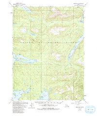
1949 Map of Craig B-3
USGS Topo · Published 1993About this map
Prince of Wales Island's intricate network of tidal inlets and freshwater basins is documented here through a series of aerial surveys beginning in 1948. The terrain is defined by the steep elevation of Harris Peak and the drainage of the Harris River into Harris R Bay. Early extractive industry and maritime activity are evident at locations such as Dawson Mine and the settlement of Old Hollis on the eastern shore.
Find a feature on this map
27 named features on this map. Tap any name to fly to it.
Don’t see what you’re looking for? This feature index may not catch every label — zoom into the map to look around manually.
Map Details
Editions of this 1949 Craig B-3 Map
3 editions found
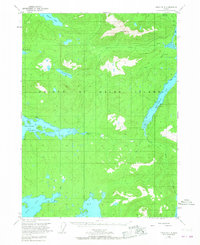
Other maps of this area

1948 · Craig A-4
USGS Topo · 1:63,360

1948 · Craig A-3
USGS Topo · 1:63,360

1948 · Craig A-2
USGS Topo · 1:63,360

1949 · Craig C-2
USGS Topo · 1:63,360

1949 · Craig B-2
USGS Topo · 1:63,360

1949 · Craig B-3
USGS Topo · 1:63,360

1949 · Craig C-3
USGS Topo · 1:63,360

1949 · Craig C-4
USGS Topo · 1:63,360

1949 · Craig B-4
USGS Topo · 1:63,360

1951 · Craig C-3
USGS Topo · 1:63,360