
1949 Map of Craig B-2
USGS Topo · Published 1964About this map
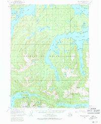
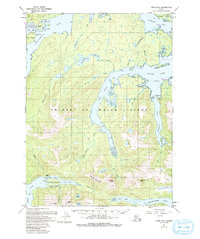
The deep saltwater fjords of Prince of Wales Island define the settlement patterns of this mid-century Alaskan landscape. The map captures the maritime orientation of the region, featuring the small settlement at Hollis near Anchorage Bay and the isolated site of Sulzer (Aban'd) on the Sulzer Passage. This southern reach of the Alexander Archipelago relies on waterway connections such as Twelvemile Arm and Skowl Arm, which slice deep into the timbered interior of the Tongass National Forest.
Find a feature on this map
58 named features on this map. Tap any name to fly to it.
Don’t see what you’re looking for? This feature index may not catch every label — zoom into the map to look around manually.
Map Details
Editions of this 1949 Craig B-2 Map
3 editions found
Other maps of this area

1948 · Craig A-1
USGS Topo · 1:63,360

1948 · Craig A-3
USGS Topo · 1:63,360

1948 · Craig A-2
USGS Topo · 1:63,360

1949 · Craig C-2
USGS Topo · 1:63,360

1949 · Craig B-3
USGS Topo · 1:63,360

1949 · Craig C-3
USGS Topo · 1:63,360

1949 · Craig B-1
USGS Topo · 1:63,360

1950 · Craig B-1
USGS Topo · 1:63,360

1950 · Craig C-1
USGS Topo · 1:63,360

1951 · Craig C-3
USGS Topo · 1:63,360