1951 Map of Craig C-3
USGS Topo · Published 1952About this map
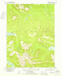
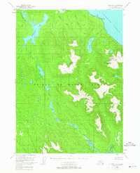
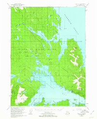
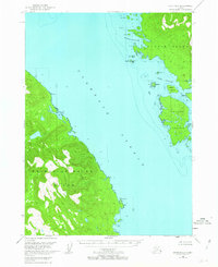
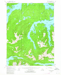
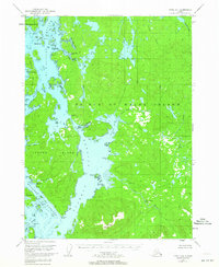
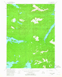
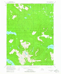
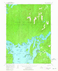
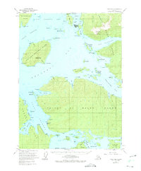
Prince of Wales Island is documented here during a period of mid-century exploration within the Tongass National Forest. The landscape is defined by its complex waterway systems, including the tidal reach of Big Salt Lake and the inland waters of Salmon Lake and Klawak Lake. A significant indicator of the era's economic activity is the Lucky Nell Mine (Gold) located in the southern portion of the sheet near Maybeso Creek. High-altitude landmarks like Granite Mtn and Pin Peak overlook a network of drainage basins including Andersen Creek and McGilvery Creek. A lone Cabin near the eastern shore of Salmon Lake suggests the sparse, seasonal presence typical of this wilderness area. The survey, based on 1948 aerial photography, captures the intricate transition from saltwater inlets to the high peaks of the Alexander Archipelago before modern industrial development reshaped the region's accessibility.
Find a feature on this map
18 named features on this map. Tap any name to fly to it.
Don’t see what you’re looking for? This feature index may not catch every label — zoom into the map to look around manually.
Map Details
Editions of this 1951 Craig C-3 Map
2 editions found

Other maps of this area
1949 · Craig D-3
USGS Topo · 1:63,360
1949 · Craig C-2
USGS Topo · 1:63,360
1949 · Craig D-2
USGS Topo · 1:63,360
1949 · Craig B-2
USGS Topo · 1:63,360
1949 · Craig D-4
USGS Topo · 1:63,360
1949 · Craig B-3
USGS Topo · 1:63,360
1949 · Craig C-3
USGS Topo · 1:63,360
1949 · Craig C-4
USGS Topo · 1:63,360
1949 · Craig B-4
USGS Topo · 1:63,360

1950 · Craig D-3
USGS Topo · 1:63,360