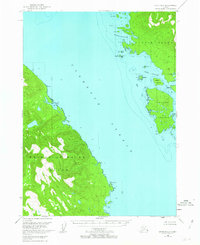
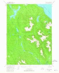
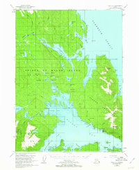
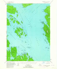
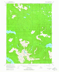
1949 Map of Craig D-2
USGS Topo · Published 1963About this map
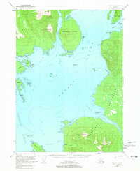
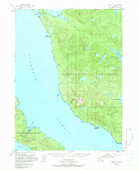
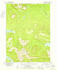
Clarence Strait serves as the central waterway for this coastal Alaskan territory, separating the jagged eastern shoreline of Prince of Wales Island from the neighboring archipelagos. This mid-century survey, based on 1948 aerial photography, provides a detailed look at the maritime landscape within the Tongass National Forest. The map documents established maritime infrastructure such as the Light at Narrow Pt and identifies a cluster of Cabins situated near the shoreline, offering a rare record of small-scale human habitation in this isolated region. Sheltered waters like Dewey Anchorage on Etolin Island and the natural pocket of Ratz Harbor highlight the area's dependence on sea travel. The interior terrain is defined by steep elevations and drainage systems like Lava Creek, illustrating the difficult geography that constrained early development to the coastline.
Find a feature on this map
28 named features on this map. Tap any name to fly to it.
Don’t see what you’re looking for? This feature index may not catch every label — zoom into the map to look around manually.
Map Details
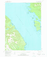
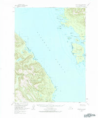
Editions of this 1949 Craig D-2 Map
4 editions found

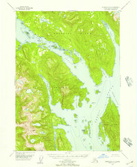
Other maps of this area
1948 · Petersburg A-1
USGS Topo · 1:63,360

1948 · Petersburg A-2
USGS Topo · 1:63,360
1949 · Craig D-3
USGS Topo · 1:63,360
1949 · Craig C-2
USGS Topo · 1:63,360
1949 · Petersburg A-3
USGS Topo · 1:63,360
1949 · Craig C-3
USGS Topo · 1:63,360
1949 · Craig D-1
USGS Topo · 1:63,360

1950 · Craig D-3
USGS Topo · 1:63,360
1950 · Craig C-1
USGS Topo · 1:63,360
1951 · Craig C-3
USGS Topo · 1:63,360