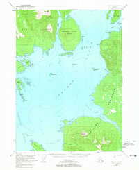
1949 Map of Craig D-1
USGS Topo · Published 1965About this map
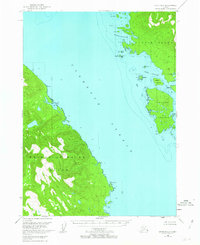
Ernest Sound dominates this mid-century maritime landscape, serving as a central waterway between the rugged coastlines of Etolin Island and the Cleveland Peninsula. The map documents a sparsely settled region of the Tongass National Forest where human activity is concentrated at the water's edge. A notable industrial footprint is visible at the Cannery along the southern shore near Union Bay, supported by Cannery Creek.
Find a feature on this map
37 named features on this map. Tap any name to fly to it.
Don’t see what you’re looking for? This feature index may not catch every label — zoom into the map to look around manually.
Map Details
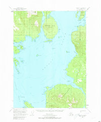
Editions of this 1949 Craig D-1 Map
3 editions found

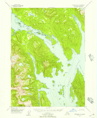
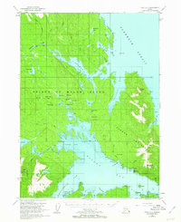
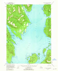
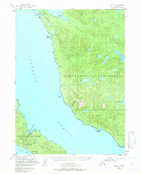
Other maps of this area
1948 · Petersburg A-1
USGS Topo · 1:63,360

1948 · Petersburg A-2
USGS Topo · 1:63,360
1949 · Craig C-2
USGS Topo · 1:63,360
1949 · Craig D-2
USGS Topo · 1:63,360
1949 · Ketchikan C-6
USGS Topo · 1:63,360
1950 · Craig C-1
USGS Topo · 1:63,360

1951 · Craig D-2
USGS Topo · 1:63,360
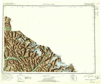
1951 · Bradfield Canal
USGS Topo · 1:250,000

1951 · Craig C-2
USGS Topo · 1:63,360

1951 · Craig C-1
USGS Topo · 1:63,360