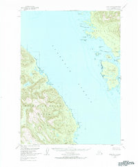
1949 Map of Craig D-2
USGS Topo · Published 1984About this map
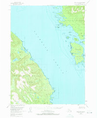
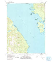
Clarence Strait dominates this 1949 survey, serving as a deep-water corridor between the timbered coasts of Prince of Wales Island and Etolin Island. The landscape is defined by its maritime access, where McHenry Anchorage and Dewey Anchorage provide sheltered waters for vessels navigating the Alexander Archipelago. On the Prince of Wales shoreline, drainage systems like Ratz Creek flow from interior water bodies such as Trumpeter Lake and Big Lake toward the natural harbors of Ratz Harbor and Little Ratz Harbor. Human presence is sparse and strictly coastal, indicated only by isolated Cabins near Narrow Pt and a Light marking the passage. The map captures the remote character of the Tongass National Forest before the expansion of modern logging infrastructure, focusing instead on the hydrographic details of rocky points like Quartz Rk and Split I.
Find a feature on this map
31 named features on this map. Tap any name to fly to it.
Don’t see what you’re looking for? This feature index may not catch every label — zoom into the map to look around manually.
Map Details
Editions of this 1949 Craig D-2 Map
4 editions found
Other maps of this area

1948 · Petersburg A-1
USGS Topo · 1:63,360

1948 · Petersburg A-2
USGS Topo · 1:63,360

1949 · Craig D-3
USGS Topo · 1:63,360

1949 · Craig C-2
USGS Topo · 1:63,360

1949 · Craig D-2
USGS Topo · 1:63,360

1949 · Petersburg A-3
USGS Topo · 1:63,360

1949 · Craig C-3
USGS Topo · 1:63,360

1949 · Craig D-1
USGS Topo · 1:63,360

1950 · Craig D-3
USGS Topo · 1:63,360

1950 · Craig C-1
USGS Topo · 1:63,360