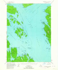
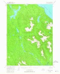
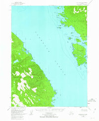
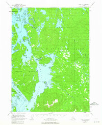
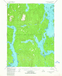
1949 Map of Petersburg A-3
USGS Topo · Published 1964About this map
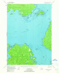
The Kashevarof Passage and Clarence Strait dominate this coastal survey of the Alexander Archipelago, where the complex waterways of the Tongass National Forest dictated the pace of Alaskan life in the late 1940s. A notable mark of shifting industry is the Cannery (Aband) located near Lake Bay on Prince of Wales Island, illustrating the ephemeral nature of salmon processing sites during this era.
Find a feature on this map
51 named features on this map. Tap any name to fly to it.
Don’t see what you’re looking for? This feature index may not catch every label — zoom into the map to look around manually.
Map Details
Editions of this 1949 Petersburg A-3 Map
3 editions found
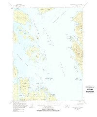

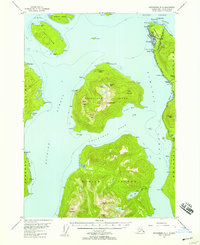
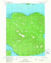
Other maps of this area

1948 · Petersburg A-2
USGS Topo · 1:63,360
1948 · Petersburg B-2
USGS Topo · 1:63,360
1948 · Petersburg B-3
USGS Topo · 1:63,360
1949 · Craig D-3
USGS Topo · 1:63,360
1949 · Craig D-2
USGS Topo · 1:63,360
1949 · Craig D-4
USGS Topo · 1:63,360
1949 · Petersburg A-4
USGS Topo · 1:63,360
1949 · Petersburg B-4
USGS Topo · 1:63,360

1950 · Craig D-3
USGS Topo · 1:63,360

1951 · Craig D-2
USGS Topo · 1:63,360