
1949 Map of Petersburg B-4
USGS Topo · Published 1965About this map
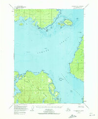
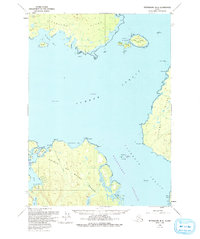
The maritime convergence of Sumner Strait and Clarence Strait defines this mid-century survey of the Alexander Archipelago. Spanning portions of Kupreanof Island, Zarembo Island, and northern Prince of Wales Island, the map documents a landscape governed by the sea, where safety depends on the position of The Eye Opener Light, Vichnefski Rock Light, and Pt Colpoys Light. Inland, the terrain of the Tongass National Forest is carved by numbered drainages like Creek No 1 and Creek No 2 that feed into the large tidal basins of Salmon Bay and Red Bay.
Find a feature on this map
54 named features on this map. Tap any name to fly to it.
Don’t see what you’re looking for? This feature index may not catch every label — zoom into the map to look around manually.
Map Details
Editions of this 1949 Petersburg B-4 Map
3 editions found
Other maps of this area

1948 · Petersburg C-4
USGS Topo · 1:63,360

1948 · Petersburg C-3
USGS Topo · 1:63,360

1948 · Petersburg C-5
USGS Topo · 1:63,360

1948 · Petersburg B-3
USGS Topo · 1:63,360

1949 · Petersburg B-5
USGS Topo · 1:63,360

1949 · Petersburg A-3
USGS Topo · 1:63,360

1949 · Petersburg A-5
USGS Topo · 1:63,360

1949 · Petersburg A-4
USGS Topo · 1:63,360

1951 · Petersburg B-4
USGS Topo · 1:63,360

1951 · Petersburg B-3
USGS Topo · 1:63,360