
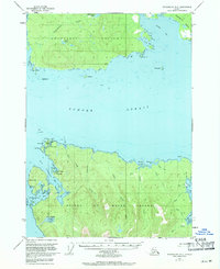
1949 Map of Petersburg B-5
USGS Topo · Published 1963About this map
Sumner Strait divides this coastal landscape, separating the southern shores of Kupreanof Island from the northern reaches of Prince of Wales Island. On the southern shore, a Trading Post sits near Point Baker, marking a hub of activity amidst a network of intricate waterways. The coastline is defined by protected harbors like Wooden Wheel Cove and Port Protection, while the interior of the islands is marked by numerous drainages such as Kushneahin Creek and Buster Creek.
Find a feature on this map
42 named features on this map. Tap any name to fly to it.
Don’t see what you’re looking for? This feature index may not catch every label — zoom into the map to look around manually.
Map Details
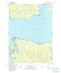
Editions of this 1949 Petersburg B-5 Map
3 editions found
Other maps of this area

1948 · Petersburg A-6
USGS Topo · 1:63,360

1948 · Petersburg C-4
USGS Topo · 1:63,360

1948 · Petersburg B-6
USGS Topo · 1:63,360

1948 · Petersburg C-6
USGS Topo · 1:63,360

1948 · Petersburg C-5
USGS Topo · 1:63,360

1949 · Petersburg A-5
USGS Topo · 1:63,360

1949 · Petersburg A-4
USGS Topo · 1:63,360

1949 · Petersburg B-4
USGS Topo · 1:63,360

1951 · Petersburg B-4
USGS Topo · 1:63,360

1951 · Petersburg C-4
USGS Topo · 1:63,360