
1949 Map of Petersburg A-5
USGS Topo · Published 1964About this map
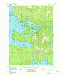
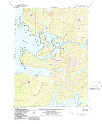
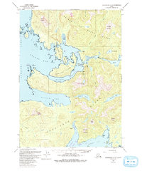
Prince of Wales Island and Kosciusko Island define this 1949 survey, revealing a landscape where early twentieth-century maritime industry had already begun to recede. The map identifies several significant locations as abandoned, including the settlements at Calder, Shakan, and Holbrook, marking the shift in commercial focus along the Alexander Archipelago. Despite these departures, the coastal infrastructure remains visible through the Light Station at the mouth of Shakan Bay and the complex waterways of El Capitan Passage and Shakan Strait.
Find a feature on this map
39 named features on this map. Tap any name to fly to it.
Don’t see what you’re looking for? This feature index may not catch every label — zoom into the map to look around manually.
Map Details
Editions of this 1949 Petersburg A-5 Map
4 editions found
Other maps of this area

1948 · Petersburg A-6
USGS Topo · 1:63,360

1948 · Petersburg B-6
USGS Topo · 1:63,360

1949 · Petersburg B-5
USGS Topo · 1:63,360

1949 · Craig D-4
USGS Topo · 1:63,360

1949 · Petersburg A-4
USGS Topo · 1:63,360

1949 · Petersburg B-4
USGS Topo · 1:63,360

1951 · Craig D-6
USGS Topo · 1:63,360

1951 · Craig D-5
USGS Topo · 1:63,360

1951 · Craig D-4
USGS Topo · 1:63,360

1951 · Petersburg B-4
USGS Topo · 1:63,360