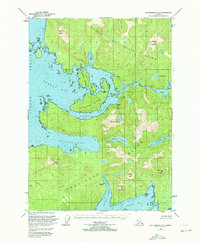
1949 Map of Petersburg A-5
USGS Topo · Published 1972About this map
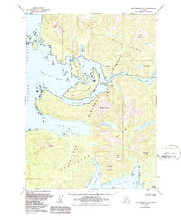
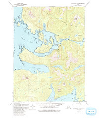
Prince of Wales Island and Kosciusko Island define this coastal landscape, where narrow waterways like Shakan Strait and El Capitan Passage carve through the dense archipelago. The map reveals the shifting nature of coastal settlements at mid-century, identifying several sites as no longer active. Settlements such as Calder (Aband), Shakan (Aband), and Holbrook (Aband) appear alongside their successor locations, marking the transition from early maritime outposts to the contemporary landscape.
Find a feature on this map
37 named features on this map. Tap any name to fly to it.
Don’t see what you’re looking for? This feature index may not catch every label — zoom into the map to look around manually.
Map Details
Editions of this 1949 Petersburg A-5 Map
4 editions found
Other maps of this area

1948 · Petersburg A-6
USGS Topo · 1:63,360

1948 · Petersburg B-6
USGS Topo · 1:63,360

1949 · Petersburg B-5
USGS Topo · 1:63,360

1949 · Craig D-4
USGS Topo · 1:63,360

1949 · Petersburg A-5
USGS Topo · 1:63,360

1949 · Petersburg A-4
USGS Topo · 1:63,360

1949 · Petersburg B-4
USGS Topo · 1:63,360

1951 · Craig D-6
USGS Topo · 1:63,360

1951 · Craig D-5
USGS Topo · 1:63,360

1951 · Craig D-4
USGS Topo · 1:63,360