
1951 Map of Craig D-5
USGS Topo · Published 1953About this map
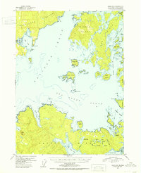
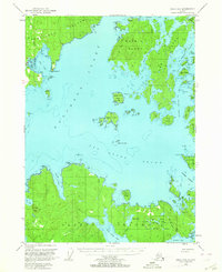
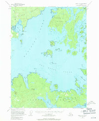
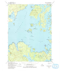
Kosciusko Island and Marble Island dominate this coastal survey of the Alexander Archipelago, showing a landscape defined by complex waterways and early 1950s industrial sites. The settlement at Edna Bay serves as a primary point of reference on the western coast, while the map marks the site of Tokeen (Aband'd) on the northern reaches of Tokeen Bay. This period reflects a shift in local industry, captured by the notation of an Lumber Camp (Abandoned) on the southern shores of Heceta Island near Tonowek Bay. Navigational features are meticulously detailed, from the narrow passages of El Capitan Passage to the broader reaches of Davidson Inlet. Local landmarks such as Limestone Pt and the Mine near Edna Bay indicate the geological and extractive interests that shaped early Alaskan maritime settlement patterns.
Find a feature on this map
67 named features on this map. Tap any name to fly to it.
Don’t see what you’re looking for? This feature index may not catch every label — zoom into the map to look around manually.
Map Details
Editions of this 1951 Craig D-5 Map
5 editions found
Other maps of this area

1948 · Petersburg A-6
USGS Topo · 1:63,360

1949 · Craig D-4
USGS Topo · 1:63,360

1949 · Petersburg A-5
USGS Topo · 1:63,360

1949 · Petersburg A-4
USGS Topo · 1:63,360

1949 · Craig C-4
USGS Topo · 1:63,360

1951 · Craig C-6
USGS Topo · 1:63,360

1951 · Craig D-6
USGS Topo · 1:63,360

1951 · Craig C-4
USGS Topo · 1:63,360

1951 · Craig C-5
USGS Topo · 1:63,360

1951 · Craig D-4
USGS Topo · 1:63,360