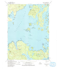
1951 Map of Craig D-5
USGS Topo · Published 1993About this map
Kosciusko Island and Heceta Island anchor this coastal survey within the Tongass National Forest, revealing the intricate maritime geography of Southeast Alaska. The settlement at Edna Bay serves as a primary hub, supported by the Edna Bay Seaplane Base, illustrating the critical role of aviation in this island-locked region. The transition of the Tokeen settlement is noted along with landmarks such as Limestone Pt and the prominent Cone Peak.
Find a feature on this map
112 named features on this map. Tap any name to fly to it.
Don’t see what you’re looking for? This feature index may not catch every label — zoom into the map to look around manually.
Map Details
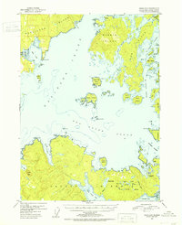
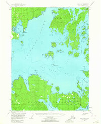
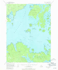
Editions of this 1951 Craig D-5 Map
5 editions found
Other maps of this area

1948 · Petersburg A-6
USGS Topo · 1:63,360

1949 · Craig D-4
USGS Topo · 1:63,360

1949 · Petersburg A-5
USGS Topo · 1:63,360

1949 · Petersburg A-4
USGS Topo · 1:63,360

1949 · Craig C-4
USGS Topo · 1:63,360

1951 · Craig C-6
USGS Topo · 1:63,360

1951 · Craig D-6
USGS Topo · 1:63,360

1951 · Craig C-4
USGS Topo · 1:63,360

1951 · Craig C-5
USGS Topo · 1:63,360

1951 · Craig D-5
USGS Topo · 1:63,360