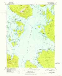
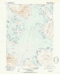
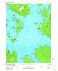
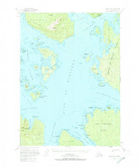
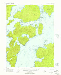
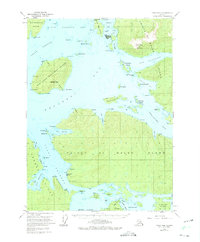
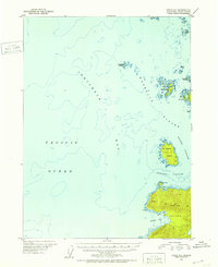
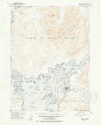
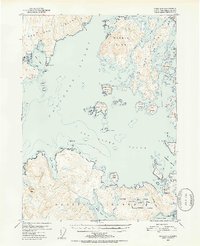
1951 Map of Craig C-5
USGS Topo · Published 1953About this map
The maritime industrial landscape of the Alexander Archipelago is centered on the Noyes Island Cannery and Steamboat Bay, reflecting the region's reliance on commercial fishing during the early 1950s. Navigational markers like the Camp Pt Incarnation Light guide vessels through the complex channels of the Gulf of Esquibel and Bocas de Finas.
Find a feature on this map
84 named features on this map. Tap any name to fly to it.
Don’t see what you’re looking for? This feature index may not catch every label — zoom into the map to look around manually.
Map Details
Editions of this 1951 Craig C-5 Map
5 editions found

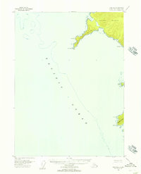
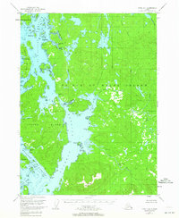
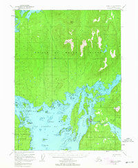
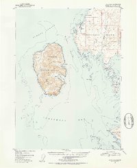
Other maps of this area
1948 · Craig B-5
USGS Topo · 1:63,360
1948 · Craig B-6
USGS Topo · 1:63,360
1949 · Craig D-4
USGS Topo · 1:63,360
1949 · Craig C-4
USGS Topo · 1:63,360
1949 · Craig B-4
USGS Topo · 1:63,360
1951 · Craig C-6
USGS Topo · 1:63,360
1951 · Craig D-6
USGS Topo · 1:63,360
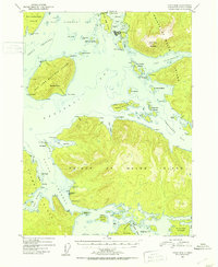
1951 · Craig B-4
USGS Topo · 1:63,360
1951 · Craig C-4
USGS Topo · 1:63,360
1951 · Craig D-5
USGS Topo · 1:63,360