
1949 Map of Craig C-4
USGS Topo · Published 1964About this map
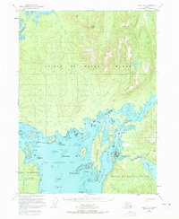
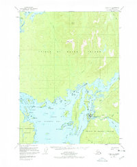
Prince of Wales Island dominates this mid-century topographic record, revealing a complex network of coastal inlets and mountainous terrain within the Tongass National Forest. The map focuses on the eastern shore of San Alberto Bay and the vicinity of Klawak Inlet, where the maritime geography dictates the pattern of human activity. Significant landmarks such as Peratrovich Island and Wadleigh Island guard the passage to Klawak Harbor, a vital anchorage near the mouth of the Klawak River.
Find a feature on this map
45 named features on this map. Tap any name to fly to it.
Don’t see what you’re looking for? This feature index may not catch every label — zoom into the map to look around manually.
Map Details
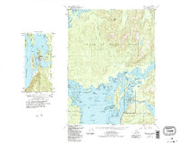
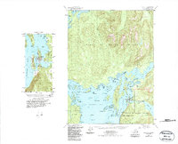
Editions of this 1949 Craig C-4 Map
5 editions found
Other maps of this area

1948 · Craig B-5
USGS Topo · 1:63,360

1949 · Craig D-3
USGS Topo · 1:63,360

1949 · Craig D-4
USGS Topo · 1:63,360

1949 · Craig B-3
USGS Topo · 1:63,360

1949 · Craig C-3
USGS Topo · 1:63,360

1949 · Craig B-4
USGS Topo · 1:63,360

1950 · Craig D-3
USGS Topo · 1:63,360

1951 · Craig C-3
USGS Topo · 1:63,360

1951 · Craig B-4
USGS Topo · 1:63,360

1951 · Craig C-4
USGS Topo · 1:63,360