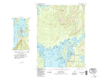
1949 Map of Craig C-4
USGS Topo · Published 1988About this map
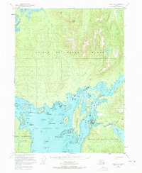
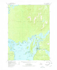
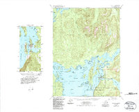
Klawock serves as the central hub of this coastal Alaskan landscape on Prince of Wales Island. Based on data from 1948 and 1949, the map reveals a maritime-focused economy where land and water are deeply intertwined. The settlement is positioned along Klawock Harbor and Klawock Inlet, supported by local infrastructure including a Fish Hatchery, a Quarry, and the Klawock Airport. The island interior is dominated by high points like Kogish Mtn and Staney Cone, with significant drainages like Shakeen Creek and Staney Creek flowing toward the complex shoreline.
Find a feature on this map
49 named features on this map. Tap any name to fly to it.
Don’t see what you’re looking for? This feature index may not catch every label — zoom into the map to look around manually.
Map Details
Editions of this 1949 Craig C-4 Map
5 editions found
Other maps of this area

1948 · Craig B-5
USGS Topo · 1:63,360

1949 · Craig D-3
USGS Topo · 1:63,360

1949 · Craig D-4
USGS Topo · 1:63,360

1949 · Craig B-3
USGS Topo · 1:63,360

1949 · Craig C-3
USGS Topo · 1:63,360

1949 · Craig C-4
USGS Topo · 1:63,360

1949 · Craig B-4
USGS Topo · 1:63,360

1950 · Craig D-3
USGS Topo · 1:63,360

1951 · Craig C-3
USGS Topo · 1:63,360

1951 · Craig B-4
USGS Topo · 1:63,360