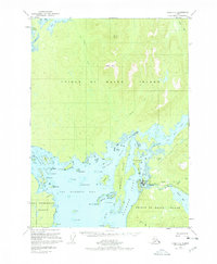
1949 Map of Craig C-4
USGS Topo · Published 1978About this map
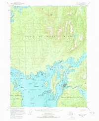
Klawock sits at the junction of maritime commerce and island interior on the western coast of Prince of Wales Island. This 1940s-era geography shows a community defined by its water access, featuring both the Klawock Airport and a Seaplane Base tucked into the protected waters of Klawock Inlet. The landscape transitions from the coastal lowlands near Klawock Lake and the Klawock River to the high peaks of Kogish Mtn and Staney Cone.
Find a feature on this map
66 named features on this map. Tap any name to fly to it.
Don’t see what you’re looking for? This feature index may not catch every label — zoom into the map to look around manually.
Map Details
Editions of this 1949 Craig C-4 Map
5 editions found
Other maps of this area

1948 · Craig B-5
USGS Topo · 1:63,360

1949 · Craig D-3
USGS Topo · 1:63,360

1949 · Craig D-4
USGS Topo · 1:63,360

1949 · Craig B-3
USGS Topo · 1:63,360

1949 · Craig C-3
USGS Topo · 1:63,360

1949 · Craig C-4
USGS Topo · 1:63,360

1949 · Craig B-4
USGS Topo · 1:63,360

1950 · Craig D-3
USGS Topo · 1:63,360

1951 · Craig C-3
USGS Topo · 1:63,360

1951 · Craig B-4
USGS Topo · 1:63,360