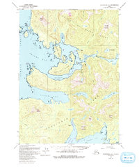
1949 Map of Petersburg A-5
USGS Topo · Published 1993About this map
Prince of Wales Island and Kosciusko Island dominate this coastal survey, where the intricate waterways of Southeast Alaska reveal a history of maritime commerce and resource extraction. The map details the site of Shakan, once a significant cannery and sawmill hub, along with a Quarry near Calder. These coastal outposts were linked by the complex passages of Shakan Strait and El Capitan Passage, serving as vital corridors for timber and fishing fleets.
Find a feature on this map
42 named features on this map. Tap any name to fly to it.
Don’t see what you’re looking for? This feature index may not catch every label — zoom into the map to look around manually.
Map Details
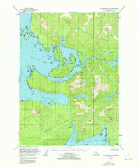
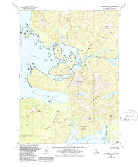
Editions of this 1949 Petersburg A-5 Map
4 editions found
Other maps of this area

1948 · Petersburg A-6
USGS Topo · 1:63,360

1948 · Petersburg B-6
USGS Topo · 1:63,360

1949 · Petersburg B-5
USGS Topo · 1:63,360

1949 · Craig D-4
USGS Topo · 1:63,360

1949 · Petersburg A-5
USGS Topo · 1:63,360

1949 · Petersburg A-4
USGS Topo · 1:63,360

1949 · Petersburg B-4
USGS Topo · 1:63,360

1951 · Craig D-6
USGS Topo · 1:63,360

1951 · Craig D-5
USGS Topo · 1:63,360

1951 · Craig D-4
USGS Topo · 1:63,360