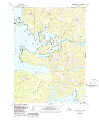
1949 Map of Petersburg A-5
USGS Topo · Published 1987About this map
Prince of Wales Island and Kosciusko Island dominate this coastal survey, where a complex network of waterways defines the human and natural geography. Small settlements like Calder, Shakan, and Holbrook are tucked along protected inlets and bays, illustrating the maritime reliance of early mid-century Southeast Alaskan life. The terrain is dramatically vertical, rising from the Shakan Strait and Davidson Inlet to heights like Mount Calder and the uniquely named peaks of The Nipples. Inland, the landscape is dotted with bodies of water such as Shipley Lake and El Capitan Lake. The presence of a Light Station near Shakan indicates the importance of these passages for navigation. Much of this territory is managed as part of the Tongass National Forest, showing a landscape defined by its timber resources and maritime trade routes before modern development significantly altered the region's character.
Find a feature on this map
38 named features on this map. Tap any name to fly to it.
Don’t see what you’re looking for? This feature index may not catch every label — zoom into the map to look around manually.
Map Details
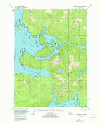
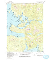
Editions of this 1949 Petersburg A-5 Map
4 editions found
Other maps of this area

1948 · Petersburg A-6
USGS Topo · 1:63,360

1948 · Petersburg B-6
USGS Topo · 1:63,360

1949 · Petersburg B-5
USGS Topo · 1:63,360

1949 · Craig D-4
USGS Topo · 1:63,360

1949 · Petersburg A-5
USGS Topo · 1:63,360

1949 · Petersburg A-4
USGS Topo · 1:63,360

1949 · Petersburg B-4
USGS Topo · 1:63,360

1951 · Craig D-6
USGS Topo · 1:63,360

1951 · Craig D-5
USGS Topo · 1:63,360

1951 · Craig D-4
USGS Topo · 1:63,360