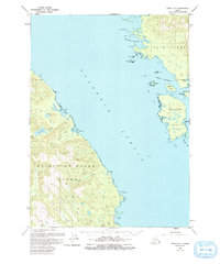
1949 Map of Craig D-2
USGS Topo · Published 1993About this map
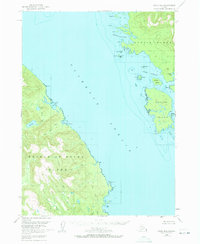
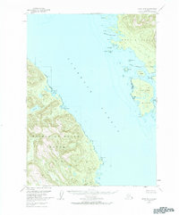
Prince of Wales Island and Etolin Island dominate this coastal survey, separated by the expansive waters of Clarence Strait. The 1949 data, updated with 1985 aerial photography, reveals a landscape defined by intricate maritime geography and freshwater systems. On the western shore, Ratz Harbor and the smaller Little Ratz Harbor provide natural shelters for vessels, while inland, Big Lake and Trumpeter Lake drain through the winding course of Ratz Creek. Across the strait to the east, Onslow Island is nestled against the larger Etolin landmass, featuring protected waters such as Dewey Anchorage and McHenry Anchorage. The map details a network of named points and islands, including Carlton Island and Mabel I, alongside smaller features like Krogh Lake and various creeks that illustrate the rugged drainage patterns of the Alexander Archipelago.
Find a feature on this map
31 named features on this map. Tap any name to fly to it.
Don’t see what you’re looking for? This feature index may not catch every label — zoom into the map to look around manually.
Map Details
Editions of this 1949 Craig D-2 Map
4 editions found
Other maps of this area

1948 · Petersburg A-1
USGS Topo · 1:63,360

1948 · Petersburg A-2
USGS Topo · 1:63,360

1949 · Craig D-3
USGS Topo · 1:63,360

1949 · Craig C-2
USGS Topo · 1:63,360

1949 · Craig D-2
USGS Topo · 1:63,360

1949 · Petersburg A-3
USGS Topo · 1:63,360

1949 · Craig C-3
USGS Topo · 1:63,360

1949 · Craig D-1
USGS Topo · 1:63,360

1950 · Craig D-3
USGS Topo · 1:63,360

1950 · Craig C-1
USGS Topo · 1:63,360