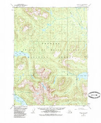
1949 Map of Craig C-3
USGS Topo · Published 1985About this map
Prince of Wales Island is documented here as it appeared in the late 1940s, shortly before mid-century revisions updated the hydrographic and forest data. The landscape is dominated by the Tongass National Forest, where a network of steep peaks and deep drainages defines the topography. Economic interest in the region is anchored by the Lucky Nell Mine (Gold) located near the Harris River. The map reveals a land defined by its water bodies, from the tidal influence at Big Salt Lake to the interior basins of Klawock Lake and Salmon Lake. Subtle human footprints are recorded at Klawock West Base and a Campground, while the upper reaches of the Thorne River and Maybeso Creek remain largely primitive. Geologists and local historians can use this survey to trace the early industrial accessibility and natural drainage patterns of this remote coastal region.
Find a feature on this map
22 named features on this map. Tap any name to fly to it.
Don’t see what you’re looking for? This feature index may not catch every label — zoom into the map to look around manually.
Map Details
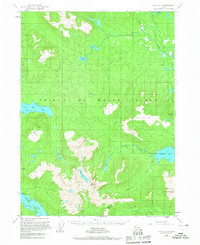
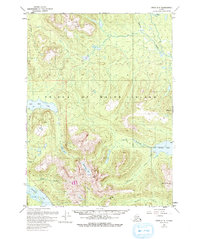
Editions of this 1949 Craig C-3 Map
4 editions found
Other maps of this area

1949 · Craig D-3
USGS Topo · 1:63,360

1949 · Craig C-2
USGS Topo · 1:63,360

1949 · Craig D-2
USGS Topo · 1:63,360

1949 · Craig B-2
USGS Topo · 1:63,360

1949 · Craig D-4
USGS Topo · 1:63,360

1949 · Craig B-3
USGS Topo · 1:63,360

1949 · Craig C-3
USGS Topo · 1:63,360

1949 · Craig C-4
USGS Topo · 1:63,360

1949 · Craig B-4
USGS Topo · 1:63,360

1950 · Craig D-3
USGS Topo · 1:63,360