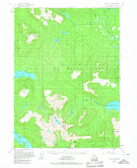
1949 Map of Craig C-3
USGS Topo · Published 1967About this map
Prince of Wales Island is documented here during a period of mid-century federal survey, showing the interior wilderness of the Tongass National Forest before extensive modern development. The map reveals a landscape defined by its complex drainage systems, where the Thorne River and numerous drainages like Maybeso Creek and McGillery Creek carve through the high elevations of Granite Mtn and Pin Peak.
Find a feature on this map
19 named features on this map. Tap any name to fly to it.
Don’t see what you’re looking for? This feature index may not catch every label — zoom into the map to look around manually.
Map Details
Editions of this 1949 Craig C-3 Map
4 editions found
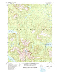
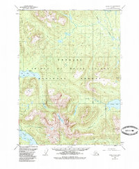
Other maps of this area

1949 · Craig D-3
USGS Topo · 1:63,360

1949 · Craig C-2
USGS Topo · 1:63,360

1949 · Craig D-2
USGS Topo · 1:63,360

1949 · Craig B-2
USGS Topo · 1:63,360

1949 · Craig D-4
USGS Topo · 1:63,360

1949 · Craig B-3
USGS Topo · 1:63,360

1949 · Craig C-3
USGS Topo · 1:63,360

1949 · Craig C-4
USGS Topo · 1:63,360

1949 · Craig B-4
USGS Topo · 1:63,360

1950 · Craig D-3
USGS Topo · 1:63,360