Old Maps of Saint John Harbor, Alaska for Metal Detecting
Plan your next treasure hunt with 7 historic maps of Saint John Harbor. Find old homesites, ghost towns, trails, and gathering spots that may be lost to time — perfect for identifying promising metal detecting locations.
- Locate forgotten sites: Uncover places like long-lost settlements, abandoned rail lines, or gathering spots.
- Plan better hunts: Use map overlays combined with LiDAR or satellite views to narrow in on historically rich areas.
- Made for detectorists: Thousands of hobbyists use these maps to discover relics, coins, and hidden history.
Use these historic maps to boost your research and find new opportunities beneath the surface of Saint John Harbor.
Saint John Harbor, AK maps
(7)- 1948 Map of Petersburg B-3, 1966 Print
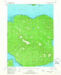 1948 Petersburg B-31966 Print · USGSZarembo Island and its surrounding channels appear here in the late 1940s as a largely untouched expanse of the Alexander Archipelago. Researchers can trace the wild coastal perimeter from St John Harbor to the waters of Meter Bight and Baht Harbor.3 unique versions available
 - 1951 Map of Petersburg B-3, 1954 Print
 1951 Petersburg B-31954 Print · USGSZarembo Island and the surrounding waterways of Southeast Alaska appear here in the early fifties. Maritime researchers and historians can trace the intricate shoreline from St John Harbor to Meter Bight and identify landmarks like Pt Howe and Station Island.2 unique versions available
 - 1952 Map of Petersburg, 1953 Print
 1952 Petersburg1953 Print · USGSSoutheast Alaska's intricate Alexander Archipelago comes to life in the early fifties, documenting a landscape of remote island settlements and maritime corridors. Genealogists and historians can trace coastal life in Petersburg and Wrangell, or locate early industry at Shakan and regional Mines.5 unique versions available
 - 1960 Map of Petersburg, 1966 Print
 1960 Petersburg1966 Print · USGSSoutheast Alaska's maritime landscape is captured here in the mid-1900s, showcasing the intricate island networks of the Alexander Archipelago. Researchers can trace historic shorelines and island settlements from Petersburg and Kake to the Wrangell Cemetery and the Stikine River.3 unique versions available
 - 1995 Map of Petersburg B-3, 1999 Print
 1995 Petersburg B-31999 Print · USGSZarembo Island and its surrounding straits appear in the mid-nineties as a hub of maritime navigation and forestry work. Researchers can trace the era's coastal infrastructure through the Log Transfer Facility, the Lighthouse Reserve, and the Alaska Marine Highway.
 - 2017 Map of Petersburg B-3 NW, 2017 Print
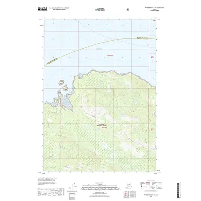 2017 Petersburg B-3 NW2017 Print · USGSCovers Saint John Harbor, including Petersburg Borough, Wrangell, and other nearby areas
 - 2021 Map of Petersburg B-3 NW, 2021 Print
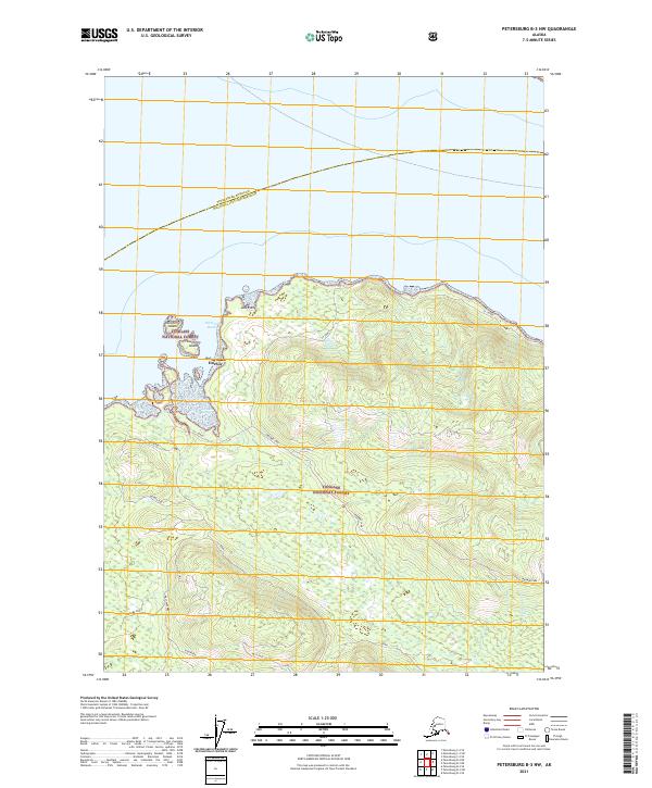 2021 Petersburg B-3 NW2021 Print · USGSZarembo Island in the early twenty-first century reveals a intricate network of logging and access roads threading through the coastal timber. Outdoor enthusiasts and researchers can trace named routes like Skyline and Muskeg Run near Saint John Harbor.
End of results
Showing maps 1-7 of 7
Frequently asked questions
- What are the different types of historical maps available for Saint John Harbor?
- What is the oldest map of Saint John Harbor?
- Where can I purchase historical maps of Saint John Harbor for my home or office?
- Where can I download high-res historical maps of Saint John Harbor?
- Are there historical topographic maps available for Saint John Harbor?
- Is there historical aerial imagery available for Saint John Harbor?
- Where are historical maps of Saint John Harbor sourced from?