Old Maps of McCarrell, Arizona for Academic Research
Study the evolution of McCarrell with 14 high-resolution historic maps. Whether you're teaching, researching, or modeling changes in land use, these maps provide essential visual documentation of urban, environmental, and geographic change.
- Analyze long-term change: Track patterns in development, transportation, and natural features.
- Ideal for environmental or urban studies: Support academic projects with primary historical map data.
- Use in the classroom or lab: Educators and researchers rely on these maps to bring historical context to life.
These maps are a powerful tool for teaching, research, and visualizing how McCarrell has changed over the decades.
McCarrell, AZ maps
(14)- 1886 Map of Fort Defiance
 1886 Fort Defiance1886 Print · USGSTerritorial Arizona and the high plateaus of Apache County come to life in the 1880s, centered on the strategic outpost of Fort Defiance. Researchers can trace the path of the Atlantic and Pacific Railroad and locate early stops like Allantown and Navajo.
 - 1892 Map of Fort Defiance
 1892 Fort Defiance1892 Print · USGSNorthern Arizona in the late nineteenth century remains a frontier of isolated outposts and high desert mesas. Trace the path of the A & P R R through Sanders or locate the remote station at Pueblo Colorado and the springs at Jacobs Well.6 unique versions available
 - 1954 Map of Gallup, 1973 Print
 1954 Gallup1973 Print · USGSNative American tribal lands and the railroad corridor of the Southwest appear here at the midpoint of the century. Trace historic sites and remote settlements from Window Rock to the Fort Wingate Army Depot and Bibo.2 unique versions available
 - 1958 Map of Gallup
 1958 Gallup1958 Print · USGSThe high desert of Western New Mexico and Eastern Arizona is captured here in the late fifties, dominated by the Navajo and Zuni homelands. Researchers can trace the path of US 66 through Gallup or locate historic industry at the Navajo Coal Mine and Gibson Coal Mine.
 - 1959 Map of Gallup
 1959 Gallup1959 Print · USGSThe high desert corridor of northwestern New Mexico and eastern Arizona comes alive in the late fifties, following the path of Route 66 and the rail lines. Trace established landmarks like Zuni Pueblo, the Fort Wingate Military Reservation, and the Coolidge Post Office.
 - 1962 Map of Gallup
 1962 Gallup1962 Print · USGSThe high plateau and mountains surrounding Gallup in the early sixties reveal a landscape defined by tribal lands, coal mining, and the rail corridor. Researchers can locate remote trading posts, the Gibson Coal Mine, and the historic Window Rock capital.
 - 1967 Map of Gallup
 1967 Gallup1967 Print · USGSThe high desert of New Mexico and Arizona comes into focus in the mid-1960s, centered on the railroad and ranching hub of Gallup. Genealogists and historians can trace routes through Zuni Pueblo, identify old rail stops like Houck, or locate the Aqua Fria Post Office.
 - 1971 Map of Chambers, 1975 Print
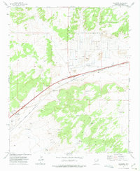 1971 Chambers1975 Print · USGSChambers and the surrounding high desert of Apache County are captured here in the early seventies, centered on the vital rail and river corridor. Researchers can locate the Mc Carrell Memorial Cem, trace the Atchison Topeka and Santa Fe line, and find ranching landmarks like Peplote Windmill.
 - 1982 Map of Sanders, 1983 Print
 1982 Sanders1983 Print · USGSThe high desert of Apache County is captured here in the early eighties, showcasing the intersection of tribal lands and major transit corridors. Researchers can trace the path of the Atchison Topeka and Santa Fe and find remote outposts like Sanders, Houck, and Crows Nest Windmill.
 - 2011 Map of Chambers, 2011 Print
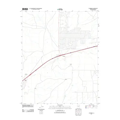 2011 Chambers2011 Print · USGSApache County at the start of the 2010s shows a landscape where vital water sources and modern highways intersect. Researchers can trace local lineage at the McCarroll Memorial Cemetery or locate remote landmarks like Squaw Springs and Peplote Windmill.
 - 2014 Map of Chambers, 2014 Print
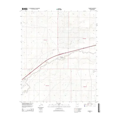 2014 Chambers2014 Print · USGSThe high-desert settlement of Chambers and the Puerco River valley are captured here during the mid-2010s. Genealogists and historians can trace local family legacies at McCarrell Memorial Cem or follow the paths of Squaw Springs and Hidden Tank.
 - 2018 Map of Chambers, 2018 Print
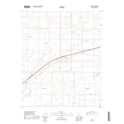 2018 Chambers2018 Print · USGSThe high desert landscape of eastern Arizona is documented here in the late twenty-teens, centered on the settlement of Chambers. Genealogists and local historians can locate the McCarrell Memorial Cem and trace the path of the Puerco River across the mesa lands.
 - 2021 Map of Chambers, 2021 Print
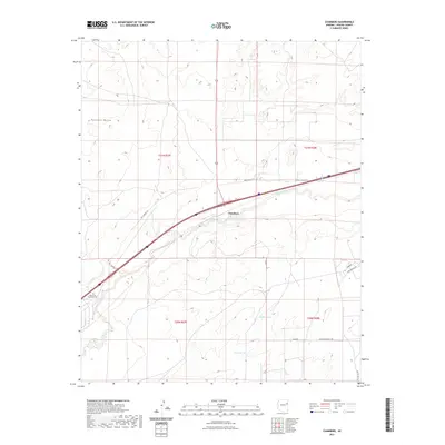 2021 Chambers2021 Print · USGSApache County's high desert settlement patterns are preserved here in the early twenty-first century. Researchers can trace family history through the McCarroll Memorial Cem and follow the route of the Puerco River past Chambers.
 - 2023 Map of Chambers, 2023 Print
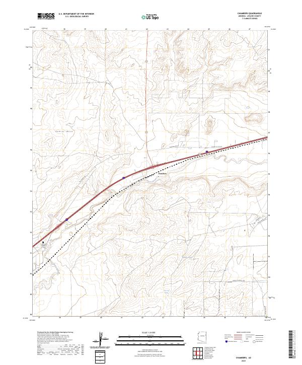 2023 Chambers2023 Print · USGSEastern Arizona’s high-desert landscape is captured here in the early twenty-first century as a vital transportation and water corridor. Genealogists and local historians can trace the McCarrell Memorial Cem and vital desert landmarks like Water Dog Spring near the settlement of Chambers.
End of results
Showing maps 1-14 of 14
Top cities near McCarrell
Frequently asked questions
- What are the different types of historical maps available for McCarrell?
- What is the oldest map of McCarrell?
- Where can I purchase historical maps of McCarrell for my home or office?
- Where can I download high-res historical maps of McCarrell?
- Are there historical topographic maps available for McCarrell?
- Is there historical aerial imagery available for McCarrell?
- Where are historical maps of McCarrell sourced from?