Old Maps of Upper Wheatfields, Chinle Agency for Genealogy
Trace your family roots with 13 historic maps of Upper Wheatfields. These high-res maps reveal old neighborhoods, homesites, landmarks, and streets — helping you uncover where your ancestors lived and how the area evolved over time.
- Explore historic neighborhoods: Identify where your relatives may have lived in the 1800s or 1900s.
- Compare maps over time: Trace the changes in streets, buildings, and landmarks for multi-generational research.
- Perfect for genealogy & ancestry research: Used by family historians and researchers to map out lineage and migration.
These maps are an incredible resource for exploring your personal connection to Upper Wheatfields's past.
Upper Wheatfields, Chinle Agency maps
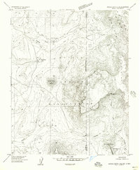
(13)- 1892 Map of Canyon De Chelly
 1892 Canyon De Chelly1892 Print · USGSApache County's high desert and deep sandstone canyons are documented here in the early 1890s, shortly after the initial 1883 survey. Modern researchers can trace the intricate drainages of Canyon De Chelly and find early water sources like Hospitito Spring and Tatezaka Tank.5 unique versions available
 - 1954 Map of Shiprock
 1954 Shiprock1954 Print · USGSThe Four Corners region in the mid-fifties reveals a vast landscape of tribal lands and desert landmarks. Researchers can trace the mid-century footprints of the Navajo Indian Reservation, identifying remote Trading Posts, the early growth of Farmington, and the iconic spire of Ship Rock.5 unique versions available
 - 1955 Map of Sonsala Butte 4 NE, 1958 Print
 1955 Sonsala Butte 4 NE1958 Print · USGSThe high borderlands of the Arizona-New Mexico line are captured here in the mid-1950s, centered on the Navajo Indian Reservation. Researchers can trace early water infrastructure and landforms from Upper Wheatfields to the heights of White Cone and the Beshlaht hdas Cliffs.
 - 1955 Map of Sonsela Buttes, 1959 Print
 1955 Sonsela Buttes1959 Print · USGSThe high plateau of the Navajo Nation comes to life in the mid-fifties, spanning the border between Arizona and New Mexico. Researchers can trace land use at Chee Dodge Ranch and follow old routes through Lower Wheatfields or the Beshthalthaa Cliffs.3 unique versions available
 - 1958 Map of Shiprock
 1958 Shiprock1958 Print · USGSThe Four Corners region in the mid-fifties shows a vast network of remote outposts and river settlements. You can locate numerous historic sites like the Emmanuel Mission and several commercial hubs such as Burnham Trading Post and Bisti Trading Post.
 - 1959 Map of Shiprock
 1959 Shiprock1959 Print · USGSThe Four Corners region comes alive in the mid-fifties, showing the high desert outposts and river-valley towns of the Navajo Nation and San Juan County. Genealogists and researchers can locate remote landmarks like the Burnham Trading Post, Two Grey Hills, and the early Helium Plant.
 - 1983 Map of Upper Wheatfields
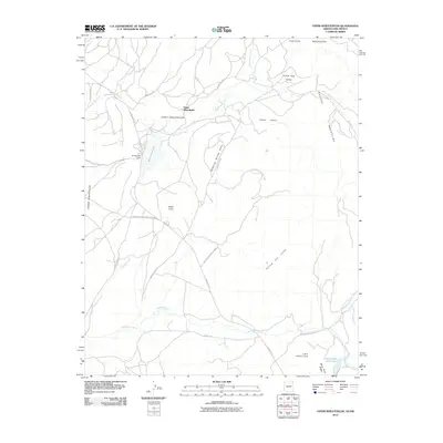
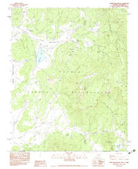 1983 Upper Wheatfields1983 Print · USGSThe Navajo high country in the early eighties shows a landscape of mountain springs and seasonal creeks at the Arizona-New Mexico line. Researchers can locate remote family-named landmarks like Teddy Chee Spring, the waters of Wheatfields Lake, and the high ridges of White Cone.
 - 1984 Map of Canyon De Chelly
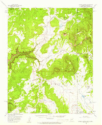
 1984 Canyon De Chelly1984 Print · USGSThe Navajo heartland in the mid-eighties shows a landscape of deep canyons and high mesas at a time of rising educational and civic infrastructure. Genealogists and researchers can locate remote trading posts like Upper Greasewood Trading Post and early campus buildings at Navajo Community College.
 - 2010 Map of Upper Wheatfields, 2010 Print
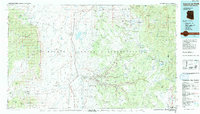
 2010 Upper Wheatfields2010 Print · USGSCovers Upper Wheatfields, including Shiprock Agency, Chinle Agency, and other nearby areas
 - 2011 Map of Upper Wheatfields, 2011 Print
 2011 Upper Wheatfields2011 Print · USGSCovers Upper Wheatfields, including Shiprock Agency, Chinle Agency, and other nearby areas
 - 2014 Map of Upper Wheatfields, 2014 Print
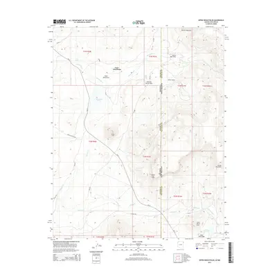 2014 Upper Wheatfields2014 Print · USGSCovers Upper Wheatfields, including Shiprock Agency, Chinle Agency, and other nearby areas
 - 2018 Map of Upper Wheatfields, 2018 Print
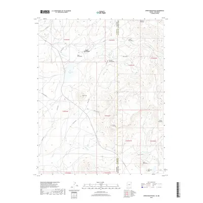 2018 Upper Wheatfields2018 Print · USGSCovers Upper Wheatfields, including Shiprock Agency, Chinle Agency, and other nearby areas
 - 2021 Map of Upper Wheatfields, 2021 Print
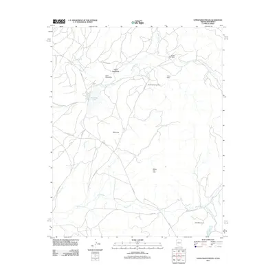
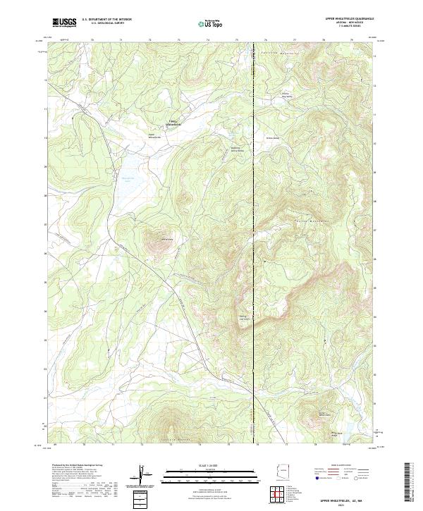 2021 Upper Wheatfields2021 Print · USGSThe high country of the Arizona-New Mexico border is captured here in the early twenty-first century. Researchers can trace the high-elevation road network and find named springs like Teddy Chee Spring and landmarks like White Cone or Wheatfields Lake.
End of results
Showing maps 1-13 of 13
Top cities near Upper Wheatfields
- Shiprock Agency historical maps
- Chinle Agency historical maps
- Fort Defiance Agency historical maps
- Eastern Navajo Agency historical maps
Frequently asked questions
- What are the different types of historical maps available for Upper Wheatfields?
- What is the oldest map of Upper Wheatfields?
- Where can I purchase historical maps of Upper Wheatfields for my home or office?
- Where can I download high-res historical maps of Upper Wheatfields?
- Are there historical topographic maps available for Upper Wheatfields?
- Is there historical aerial imagery available for Upper Wheatfields?
- Where are historical maps of Upper Wheatfields sourced from?