Old Maps of Apache, Arizona for Academic Research
Study the evolution of Apache with 16 high-resolution historic maps. Whether you're teaching, researching, or modeling changes in land use, these maps provide essential visual documentation of urban, environmental, and geographic change.
- Analyze long-term change: Track patterns in development, transportation, and natural features.
- Ideal for environmental or urban studies: Support academic projects with primary historical map data.
- Use in the classroom or lab: Educators and researchers rely on these maps to bring historical context to life.
These maps are a powerful tool for teaching, research, and visualizing how Apache has changed over the decades.
Apache, AZ maps
(16)- 1917 Map of Chiricahua, 1954 Print
 1917 Chiricahua1954 Print · USGSSoutheastern Arizona and the New Mexico borderlands are shown here during a period of mining expansion and cattle ranching. Genealogists can locate family homesteads like Staffords Ranch or trace remote outposts like Paradise and the Hilltop Mine.
 - 1919 Map of Chiricahua
 1919 Chiricahua1919 Print · USGSSoutheastern Arizona ranching and mining operations are captured here during the late nineteen-teens. Genealogists can trace family homesteads like Staffords Ranch and Hampe Ranch alongside the Hilltop Mine and several rural schoolhouses.3 unique versions available
 - 1940 Map of Apache
 1940 Apache1940 Print · USGSArizona and New Mexico ranching culture is captured here during the early twentieth century, showing the rugged borderlands before modern development. Genealogists can trace family homesteads like Darnell Ranch and find rural landmarks like Texizona School and Moores Spur.
 - 1955 Map of Douglas
 1955 Douglas1955 Print · USGSThe Arizona and New Mexico borderlands come into focus in the mid-1950s, highlighting the mining and ranching hubs of the Desert Southwest. Genealogists and historians can trace the foundations of Bisbee, the operations at Hachita Mine, and rural landmarks like the Double Adobe School.2 unique versions available
 - 1958 Map of Apache, 1959 Print
 1958 Apache1959 Print · USGSThe high desert borderlands of Cochise County are captured in the late 1950s as they transition from frontier outposts to a modern energy corridor. Genealogists and historians can locate the Geronimo Surrender Site, the Apache Cemetery, and remote family holdings like Fairchild Ranch.3 unique versions available
 - 1959 Map of Douglas, 1968 Print
 1959 Douglas1968 Print · USGSSoutheast Arizona and southwest New Mexico meet at the border in the late fifties, showcasing a high-desert landscape defined by industrial copper mining and ranching. Genealogists and historians can trace the foundations of Bisbee, locate the Lavender Pit, and follow the Southern Pacific line through Douglas.4 unique versions available
 - 1961 Map of Douglas
 1961 Douglas1961 Print · USGSThe Arizona-Mexico borderlands come into focus at mid-century, detailing the vital mining and ranching hubs of Cochise County and southwest New Mexico. Genealogists and historians can trace the Southern Pacific Railroad through Bisbee and Douglas, or locate early sites like the Old Hachita Mine and Rucker School.
 - 1964 Map of Douglas
 1964 Douglas1964 Print · USGSThe Arizona-New Mexico borderlands in the early sixties reveal a landscape of deep-rooted copper mining and high-desert ranching. Genealogists and researchers can trace the legacy of settlements like Pirtleville, the industrial site of the Copper Smelter, and remnants of the Cochise Mines.
 - 1987 Map of Apache
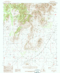 1987 Apache1987 Print · USGSSoutheastern Arizona's high desert meets the slopes of the Chiricahua Mountains during the late eighties. Genealogists and historians can trace the Old Railroad Grade through Apache and locate landmarks like the Cem or Historical Mon.
 - 1994 Map of Chiricahua Peak
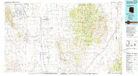 1994 Chiricahua Peak1994 Print · USGSSoutheast Arizona in the mid-nineties shows a land of high sky islands and broad cattle valleys transitioning into New Mexico. Trace the legacy of old mining camps and railroad stops from Pearce and Gleeson to the canyons of the Chiricahua Mountains.2 unique versions available
 - 1996 Map of Apache, 2003 Print
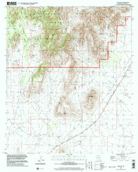 1996 Apache2003 Print · USGSSoutheast Arizona's high desert and mountain slopes are captured here in the late twentieth century as the region balanced ranching and conservation. You can trace the Old Railroad Grade past the settlement of Apache and locate landmarks like the Historical Monument or Squaw Mountain.
 - 2012 Map of Apache, 2012 Print
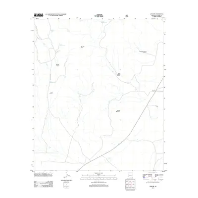 2012 Apache2012 Print · USGSCovers Apache, including Cochise County, United States, and other nearby areas
 - 2014 Map of Apache, 2014 Print
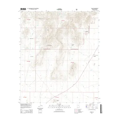 2014 Apache2014 Print · USGSCovers Apache, including Cochise County, United States, and other nearby areas
 - 2018 Map of Apache, 2018 Print
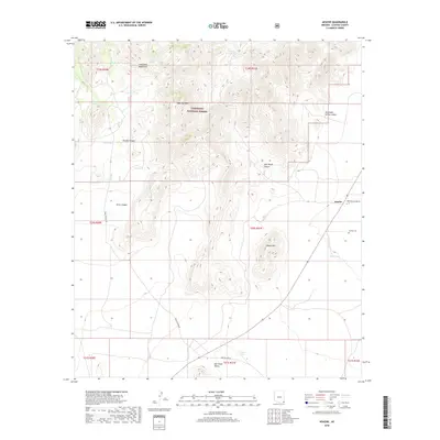 2018 Apache2018 Print · USGSCovers Apache, including Cochise County, United States, and other nearby areas
 - 2021 Map of Apache, 2021 Print
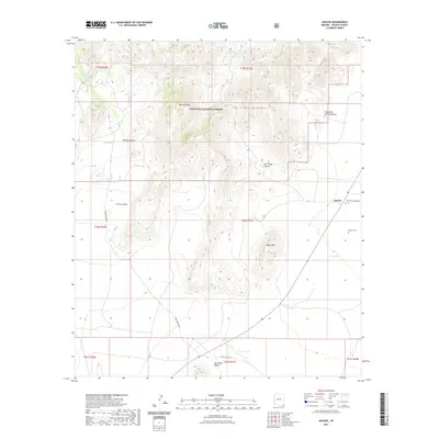 2021 Apache2021 Print · USGSCovers Apache, including Cochise County, United States, and other nearby areas
 - 2023 Map of Apache, 2023 Print
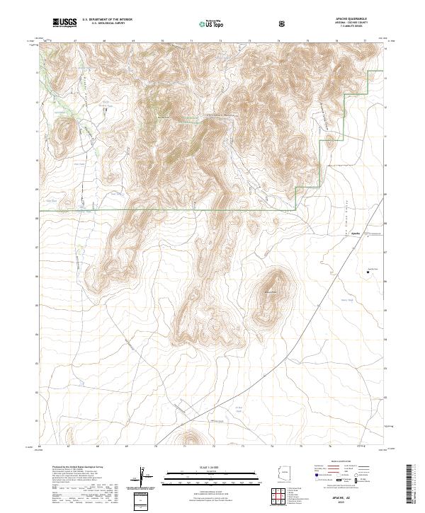 2023 Apache2023 Print · USGSCochise County’s eastern landscape at the edge of the Chiricahua Mountains is documented here in the early twenty-first century. Researchers can trace the layout of the settlement at Apache, locate the Apache Cem, and follow the historic path of Skeleton Canyon Rd through the valley.
End of results
Showing maps 1-16 of 16
Top cities near Apache
Frequently asked questions
- What are the different types of historical maps available for Apache?
- What is the oldest map of Apache?
- Where can I purchase historical maps of Apache for my home or office?
- Where can I download high-res historical maps of Apache?
- Are there historical topographic maps available for Apache?
- Is there historical aerial imagery available for Apache?
- Where are historical maps of Apache sourced from?