Old Maps of Bowie, Arizona
Explore 14 old maps of Bowie, spanning from 1917 to today. These high-resolution historic maps reveal how streets, neighborhoods, landmarks, and natural features evolved over time — perfect for genealogy, metal detecting, research, and local history exploration.
What you can do with these maps:
- See how Bowie changed over time: Compare historical maps to modern-day views to trace roads, homesites, rail lines & more.
- View detailed metadata: Each map includes creators, publishers, year, scale, and archive source.
- Overlay maps with satellite & LiDAR: Visualize the past alongside modern tools to explore terrain & human change.
- Trusted historical sources: Maps sourced from the USGS, Library of Congress, and other archives.
- Access maps your way: View online, download high-res files, or order prints for personal or research use.
Start exploring old maps of Bowie to uncover forgotten places, hidden landmarks, and the deep history beneath your feet.
Bowie, AZ maps
(14)- 1917 Map of San Simon
 1917 San Simon1917 Print · USGSArizona and New Mexico ranching and rail history meet here during the years following the border surveys. Genealogists and historians can locate remote family sites like Posey Ranch, the historical Old Fort Bowie, and early copper or granite works at Willie Rose Mine.3 unique versions available
 - 1928 Map of Bowie
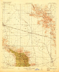
 1928 Bowie1928 Print · USGSCochise County ranching and rail life are recorded in detail during the late twenties, centered on the hub of Bowie. Genealogists and historians can trace numerous family operations like Henderson Ranch and Old Lyday Ranch, or locate the Artesia School along the Southern Pacific line.
 - 1949 Map of Bowie, 1958 Print
 1949 Bowie1958 Print · USGSThe Southern Pacific railroad and the cattle ranches of Cochise County define this desert landscape in the late 1940s. Genealogists and historians can trace family-named sites like Garrett Ranch and the station at Bowie.2 unique versions available
 - 1950 Map of Bowie
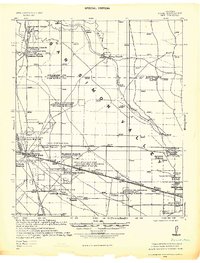
 1950 Bowie1950 Print · USGSSoutheast Arizona ranching and rail life at mid-century are centered here on the town of Bowie and the Southern Pacific line. Researchers can trace historic property sites like Posey Ranch and Garrett Ranch or locate the Yellow Hammer Mill.
 - 1954 Map of Silver City, 1967 Print
 1954 Silver City1967 Print · USGSSoutheast Arizona and southwest New Mexico meet in this mid-century survey of the high desert and mountain mining districts. Local researchers can trace the rail lines through Lordsburg, the silver operations at Ash Peak Mines, and the limits of Fort Bayard Military Reservation.4 unique versions available
 - 1958 Map of Silver City
 1958 Silver City1958 Print · USGSSouthwestern New Mexico and eastern Arizona appear here in the mid-1950s, a period of intensive mining and rail activity. Trace the routes of the Southern Pacific RR through Lordsburg or locate historic operations at the Chino Mine and Santa Rita.
 - 1962 Map of Silver City
 1962 Silver City1962 Print · USGSThe high desert borderlands of New Mexico and Arizona come alive in this early sixties survey. Genealogists and historians can trace the mining economy through the Chino Mine, follow the rail routes of the Southern Pacific, or locate settlements like Virden and Bayard.
 - 1974 Map of Bowie, 1977 Print
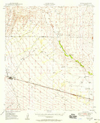
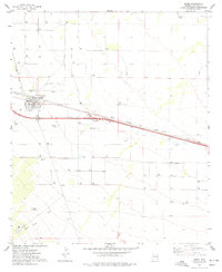 1974 Bowie1977 Print · USGSBowie and the surrounding Cochise County desert are captured here during the 1970s as a high-desert railroad and ranching hub. Genealogists and researchers can trace the town grid to find the High Sch, Desert Rest (Cem), and the Southern Pacific rail lines.
 - 1994 Map of Willcox
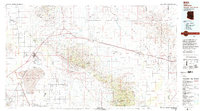 1994 Willcox1994 Print · USGSSoutheast Arizona in the mid-nineties shows a landscape defined by expansive desert basins and rugged sky islands. Genealogists and historians can trace the rail corridor of the Southern Pacific through Willcox, Bowie, and the Kansas Settlement.2 unique versions available
 - 1996 Map of Bowie, 2002 Print
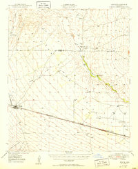
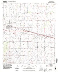 1996 Bowie2002 Print · USGSBowie sits at the intersection of desert rail and road networks in the mid-1990s, serving as a vital hub in Cochise County. Researchers can trace the town's layout from the High Sch to the Desert Rest (Cem), alongside the vital Southern Pacific railroad.
 - 2011 Map of Bowie, 2011 Print
 2011 Bowie2011 Print · USGSCovers Bowie, including Cochise County, United States, and other nearby areas
 - 2014 Map of Bowie, 2014 Print
 2014 Bowie2014 Print · USGSCovers Bowie, including Cochise County, United States, and other nearby areas
 - 2018 Map of Bowie, 2018 Print
 2018 Bowie2018 Print · USGSCovers Bowie, including Cochise County, United States, and other nearby areas
 - 2021 Map of Bowie, 2021 Print
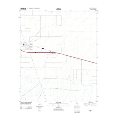
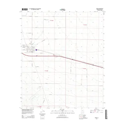
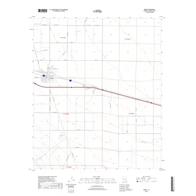
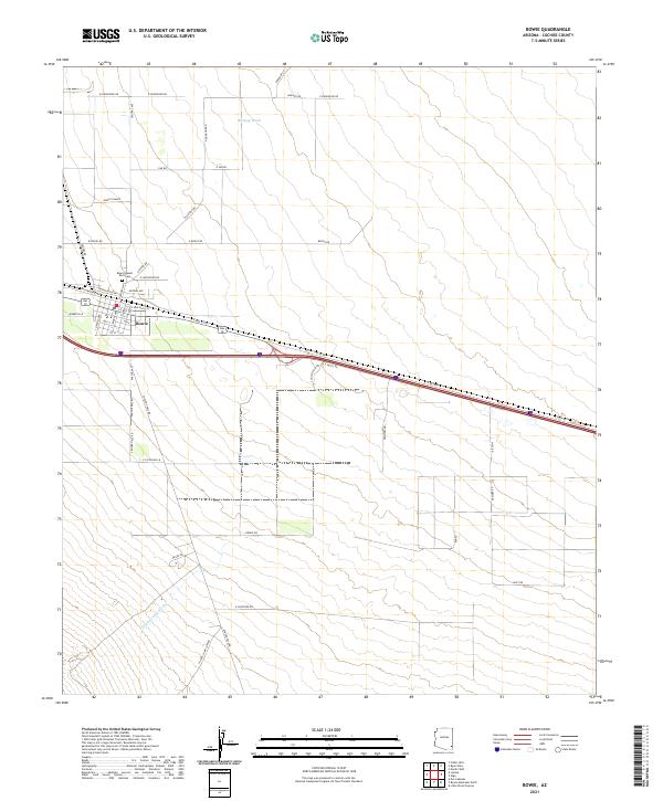 2021 Bowie2021 Print · USGSBowie and its surrounding ranch lands appear in the 2020s as a vital desert corridor in Cochise County. Researchers can trace local genealogy at the Bowie Desert Rest Cem or locate the historic Spear K Ranch along the seasonal Buckeye Wash.
End of results
Showing maps 1-14 of 14
Frequently asked questions
- What are the different types of historical maps available for Bowie?
- What is the oldest map of Bowie?
- Where can I purchase historical maps of Bowie for my home or office?
- Where can I download high-res historical maps of Bowie?
- Are there historical topographic maps available for Bowie?
- Is there historical aerial imagery available for Bowie?
- Where are historical maps of Bowie sourced from?