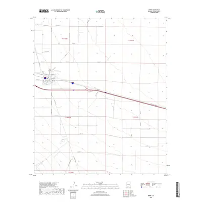
2018 Map of Bowie
USGS Topo · Published 2018About this map
Bowie serves as the focal point of this desert landscape in Cochise County, situated along a transportation corridor defined by Interstate 10 and a major rail line. The town's grid is anchored by streets such as Arizona Ave and E Kinchilla St, with the Desert Rest Cem located just to the northwest. The surrounding terrain is marked by significant drainage patterns, including the broad Buckeye Wash and Happy Camp Wash, which cut through the arid valley floor toward the southern mountains.
Find a feature on this map
54 named features on this map. Tap any name to fly to it.
Don’t see what you’re looking for? This feature index may not catch every label — zoom into the map to look around manually.
Map Details
Editions of this 2018 Bowie Map
This is the sole edition of this map. No revisions or reprints were ever made.
Other maps of this area
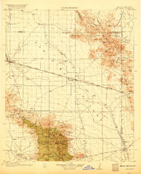
1917 · San Simon
USGS Topo · 1:125,000
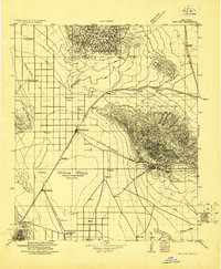
1922 · Willcox
USGS Topo · 1:125,000
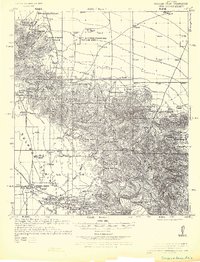
1926 · Cochise Head
USGS Topo · 1:62,500
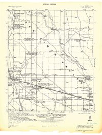
1928 · Bowie
USGS Topo · 1:62,500
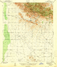
1943 · Dos Cabezas
USGS Topo · 1:62,500
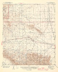
1944 · Fisher Hills
USGS Topo · 1:62,500
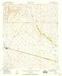
1949 · Bowie
USGS Topo · 1:62,500
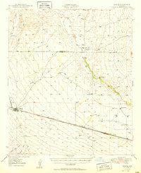
1950 · Bowie
USGS Topo · 1:62,500
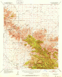
1950 · Cochise Head
USGS Topo · 1:62,500

1954 · Silver City
USGS Topo · 1:250,000