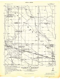
1928 Map of Bowie
USGS Topo · Published 1928About this map
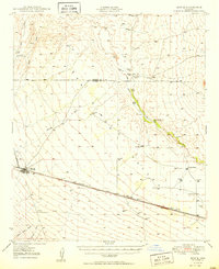
The desert landscape of the San Simon Valley is defined here by the critical infrastructure of early 20th-century ranching and rail travel. Centered on the town of Bowie, the map illustrates a network of scattered homesteads such as Hutchison Ranch, Bremzer Ranch, and the Triangle Ranch (McKenzie). The reliance on groundwater is evident through the numerous specifically labeled gas-engine wells, including the Well 15-H.P. Gas Eng. Artesian Well & Reservoir and several others ranging from 1-1/2 to 40 horsepower. This tactical survey highlights the strategic importance of the Southern Pacific and Arizona Eastern railroads, which facilitated movement through this corner of Cochise and Graham counties. Local life is anchored by landmarks like the Artesia School and smaller stops like Olga and Karro, while the erratic path of San Simon Creek cuts through the valley floor.
Find a feature on this map
50 named features on this map. Tap any name to fly to it.
Don’t see what you’re looking for? This feature index may not catch every label — zoom into the map to look around manually.
Map Details
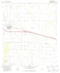
Editions of this 1928 Bowie Map
This is the sole edition of this map. No revisions or reprints were ever made.
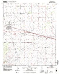
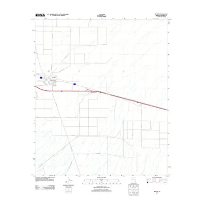
Historical Maps of Bowie Through Time
9 maps found