Loading...
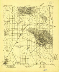
Loading map...1922 Map of Willcox
USGS Topo · Published 1922About this map
Willcox Playa dominates this high-desert basin, its seasonal waters framed by the Dos Cabezas mountains and the southern reaches of the Graham-Cochise county line. In the early 1920s, this region served as a vital transportation corridor where the Southern Pacific and Arizona Eastern railroads converged near the settlements of Willcox and Cochise.
Find a feature on this map
46 named features on this map. Tap any name to fly to it.
Don’t see what you’re looking for? This feature index may not catch every label — zoom into the map to look around manually.
Map Details
Date Portrayed1922
Date Published1922
PublisherU.S. Geological Survey
Map TypeTopographic
Scale1:125,000
Physical Dimensions18 x 21.8 inches
Editions of this 1922 Willcox Map
This is the sole edition of this map. No revisions or reprints were ever made.
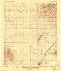
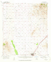
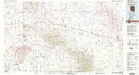
Historical Maps of Willcox Through Time
4 maps found
Featured Locations
Source Details
SourceU.S. Geological Survey
CopyrightPublic Domain